

Apps Like Pressure Altimeter Tracker for iPhone and iPad
Pressure Altimeter Tracker screenshots
Ranked alternatives
Showing 321–340 of 1,000 ranked alternatives.


Peak - Altimeter GPS Barometer
Immaginet Srl
Navigate with AI and weather data
Track elevation and location using AI-powered and GPS. Access real-time weather forecasts based on barometric pressure. Use compass for direction and calculate sunrise/sunset times. View POIs and integrate with AI chatbot for contextual information.




GPS Speedmeter mph kmh
MATRIKS GRUP, TOV
Track speed and direction offline
Track vehicle speed with a digital speedometer showing current, average, maximum speed, and total distance. Use offline mode for uninterrupted performance. Access two HUD modes for windshield display. Choose from 10 themes for customization.

DashCam Recorder
Jan Nutbroek
Record drives with GPS and metadata
Record video with GPS, speed, altitude, and date/time metadata. Replay drives on maps using companion apps. Auto-start, loop recording, crash detection, and driver focus mode. No ads, subscriptions, or signups required.


Pear Altitude - GPS / No Ads
自力 黄
Record and track your journey
Track with real-time GPS measurements and second-level precision. Monitor oxygen levels and elevation changes. Log journeys offline and sync data later. Customize themes and access advanced tracking features without login or ads.
FlightCALC-HD
Felix Steger
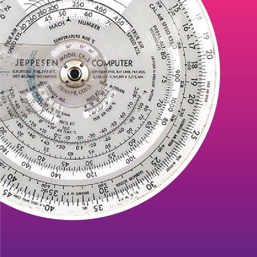
Altitude, speed, temperature, wind, turns.
The app performs altitude, speed, temperature, wind, and turn calculations. It includes unique calculations for bank, radius, and acceleration, along with various wind computations.


Altimeter GPS+ (Speedometer)
Tigran Mkhitaryan
Share location links instantly
Track elevation and climb rate in real-time. Calibrate altitude settings and check GPS accuracy. Send location links via SMS for easy sharing and navigation assistance. View maps in web browsers for location tracking.


Altimeter Pro: Compass, GPS
Furkan Ozoglu
Track location and altitude in real time
Track location, altitude, and direction with real-time map updates. View geographic coordinates, address, and atmospheric pressure. Use a detailed compass for navigation. Share photos with altitude, coordinates, and address data.
G-Field Recorder
Stratos Perception, LLC
Record and replay motion data
Logs 3-axis acceleration and rotational data, ground speed, altitude, distance, displacement, and course. Users can plot, replay, and analyze recorded data for experiments, sports, drones, vehicles, and security. Data is stored locally on the device.

OpenADSB
Steve Kuo
Track aircraft and view flight data
Track aircraft using real-time data from multiple air traffic sources. Display flight paths, altitudes, and speeds. Customize map views and set up alerts for specific aircraft. Connect to dump1090, tar1090, or Virtual Radar Server.

GPS
Void Stop Pty Ltd
Access iPhone GPS functionality and more.
The app displays current heading, course, speed, coordinates, and altitude. It offers street, topographic, and aerial maps, with cached maps available for a day.

How we rank alternatives
Apps are ranked by functional similarity, category fit, rating confidence, and popularity.