Welfare monitoring for recreational activities and travel.
The app informs assigned contacts about user activities, destinations, and expected check-in times. It automatically notifies contacts if a user fails to check in on time, relaying real-time location and alert status.
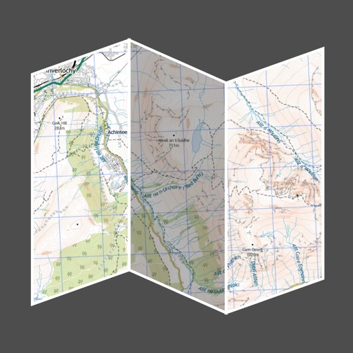
Provide offline topographic maps of Great Britain with pan and zoom capabilities. View detailed terrain features and scale at 1:25k. Use for outdoor activities like hiking, cycling, and hunting in areas without cellular coverage.
The app provides global exploration with features like immersive Street View, worldwide hiking trails, and multi-engine maps. It includes a smart route planner, pro-grade data, offline map capabilities, and an exploration archive for saving journeys.
The app plans routes using multiple data sources, prioritizing cycle paths and quiet streets worldwide. It provides turn-by-turn instructions, elevation profiles, and offline maps for navigation on iPhone and Apple Watch.
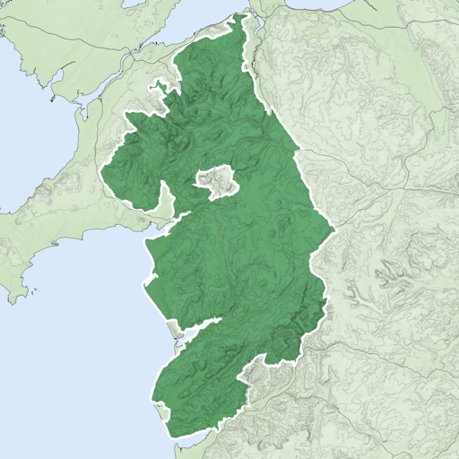
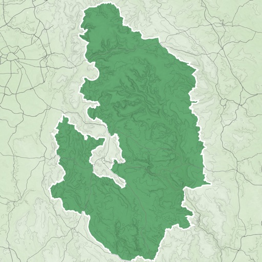
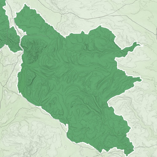
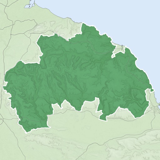
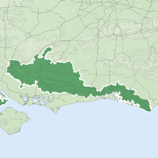
The app provides GPS map navigation for outdoor adventures in UK National Parks. It offers online and offline modes with detailed charts, GPS tracking, and name searching.