Images to PDF while preserving quality. View file size, share via WhatsApp or email, print, rename files, add page numbers, and set borders. Works offline and without ads. Premium subscription unlocks all features.
Measure distances and angles using augmented reality. Customize ruler settings and save measurements. Access tools for drawing, scaling, and converting units. Share measurement data directly.
Scan WiFi networks to identify connected devices with IP and MAC addresses. View device names and additional details. Evaluate WiFi and mobile data speeds. Assess and improve network settings.
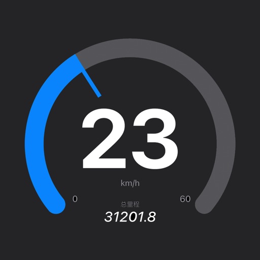
The app displays travel speed using the device's GPS. It offers a HUD mode to project speed onto a car's windscreen, ideal for nighttime use with maximum brightness.
Create , ID, and visa photos for 150+ countries. Automatically remove backgrounds and ensure biometric compliance. Save photos for printing or digital use. Generate high-quality images directly from your device.
Displays current speed in mph, km/h, or knots. Features Retina Display and large indicators for clear visibility. No ads included. Uses device hardware to estimate speed. Accuracy improves with less transparent indicators.
Navigation allows users to view and share GPS coordinates in six formats. It includes a , altitude, distance, and sunset/sunrise tracking. Users can set and edit waypoints with photo or audio notes.
Monitor vehicle location in real time. Receive overspeed alerts and geofence event notifications. driver behavior and manage fleet operations remotely. Set custom alerts for various events. View historical location data and generate reports.