Browse rental listings on a map. Search for available units. Share event details with the community. Access local resources and services. Navigate Crown Heights neighborhoods. Connect with neighbors for event sharing.
by Yehoshua Pinson★ 5.087 ratingsNavigationFreeData updated 2026-09-06
Find tide heights and graphics for coastal areas. Search for locations by name or view favorites. Automatically detect nearest spots. No internet required. Track tide data for planning water activities.
Search for local businesses by category, location, or keyword. View business details including phone numbers, addresses, and hours. Save favorites and share listings via email or social media. Navigate to business locations using integrated maps.
Track driving stats including total distance, hours practiced, and average trip time. View trips on a map and log lessons in a calendar. Requires constant GPS use, which may drain battery.
The app identifies the user's location and allows users to choose the nearest school. Users can view a school's location on the map, address, telephone number, and distance.
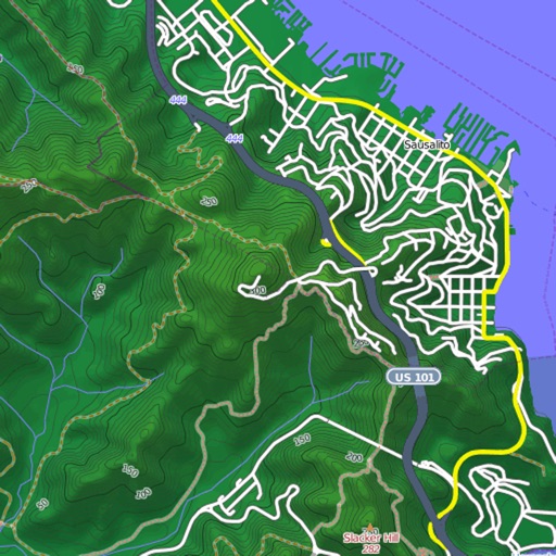
View and download detailed maps with topographical hillshading and contour lines. Store maps for offline use. Navigate using detailed terrain features. Find hiking trails, ski runs, and back streets.
Accessibility-focused navigation offering detailed, community-sourced reviews and real-time accessibility information. Users can search for accessible routes, locate resources, and filter by accessibility features.