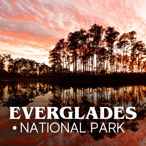
Apps Like Everglades National Park Tour for iPhone and iPad
Explore parks with guided audio tours
Explore with self-guided driving tours. Listen to detailed stories and narration. Automatically play audio as you drive. Learn about the ecosystem, wildlife, and history. View scenic routes and points of interest along the way.
by David Kneynsberg LLC★ 4.619 ratingsTravelFreeData updated 2026-09-06
Provides location-based for road trips. Guides users to points of interest, suggests side trips, and offers local tips. Includes historical, geological, and cultural information. Automatically plays commentary based on location and direction.
Explore the and Biscayne Bay using augmented reality. Use your phone's camera to view 3D-generated plants and animals. Interact by feeding, dancing with, and adding species to a Biodex. Discover all species to unlock a 3D-printed sculpture.
View real-time ship arrivals and departures at . Check terminal assignments and vessel specifications. See next and previous ports of call. Track ship locations on a map. Access parking information via the Car icon.
Plan trips to parks by downloading , brochures, and newspapers. Access 100+ parks, 25+ folded from various agencies, 300+ campsites, 2,000+ trails, and 75,000+ points of interest. Save data for offline use in areas without Wi-Fi.
Explore Big National Preserve with driving routes. Learn about history, culture, and wildlife. Visit Miccosukee Indian Village and a unique post office. Discover local artifacts and souvenirs along the scenic trail.
Explore with augmented reality overlays, access offline maps, and get detailed public transportation guides for Metrorail and Metromover. Find attractions like Little Havana and Vizcaya Museum and Gardens with location-based recommendations.
Plan hunts by viewing species distribution and 3D . Access units and land boundaries. Save offline and mark waypoints. Track weather conditions and property lines. Use satellite, lidar, and hybrid basemaps for terrain analysis.
Track visits to national in the U.S. and Canada. Check in using GPS, view park details, and record visits. Share progress, badges, and photos with friends. Create a wish list for future visits. Add other park types like U.S. state .
Use GPS to navigate trails . Import custom maps and create personal maps. Access topographic, hiking, cycling, and city maps from publishers like National Geographic and National Park Service. Sync with devices for use.
Track remaining days and hours until a trip starts. Input destination and travel date to view . Set multiple trip reminders. Share details with others. Syncs across devices for real-time updates.
Use GPS to trigger narration as you travel. Listen to guided with historical stories, travel tips, and local music. Get directions to key attractions and learn about landmarks along the way.