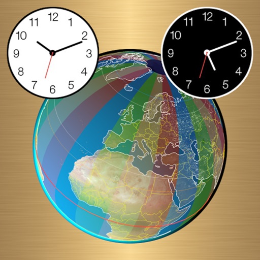
High-definition maps with detailed imagery. Navigate using interactive maps and street to explore streets and neighborhoods. Discover locations and landmarks with zoom and pan features. Save and share specific views of surface.
Plan hikes and summit attempts with detailed trail maps and elevation data. Track progress on each peak with logging and completion status. View real-time weather conditions and safety alerts for hiking areas.
The app pairs with SPOT Connect, a satellite messenger for sending messages via satellite from remote locations. It sends location-based messages from areas beyond cellular phone coverage using the Globalstar satellite network.