View maps for cities like Ahmedabad, Bengaluru, Chennai, and offline. Use AR view for navigation. Zoom and pan maps with gestures. Access user location features. Requires a subscription for full access.
Navigate public transport with real-time updates and planning. View interactive maps for easy panning and zooming. Find stops, schedules, and transfers. Get directions to specific locations like Speicherstadt or Blankenese.
A 3D rendered with real-time satellite imagery. Explore famous locations with 360° views and detailed information. Access premium content via subscription plans. Navigate using GPS cameras and global images of cities and landmarks.
The app provides auto navigation for the current location and allows users to create routes on Google Maps. It includes the latest street view, traffic data, and four map types.
Access and property ownership data across the nation. Use AI filters to analyze road frontage, slope, flood zones, and wetlands. Retrieve AI-generated property insights and comparable sales data. View MLS listings and historical sales.
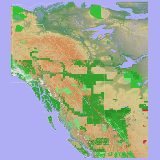
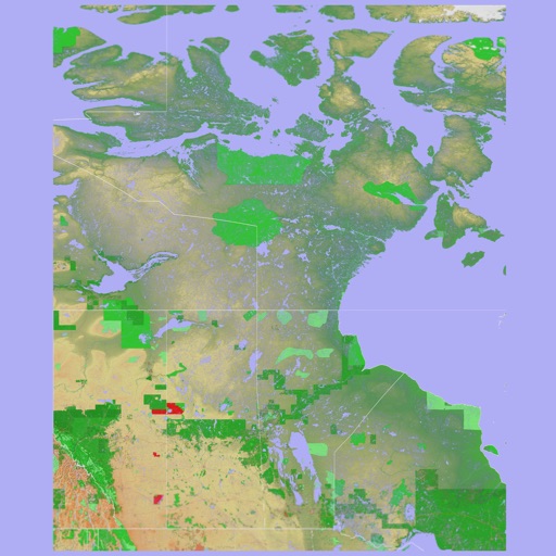
The app provides a 3D topographical map of Western Canada. Map data downloads to the device for use without an internet connection, allowing users to view terrain features as small as ten meters.
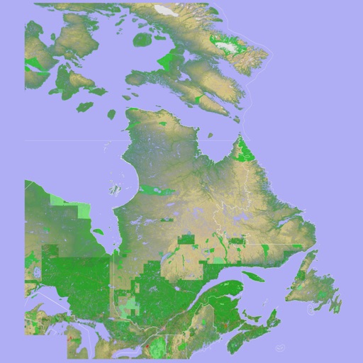
The app presents a 3D topographic map of Eastern Canada. Users can download map data for use without an internet connection, suitable for various travel methods.
The app provides map display for land and sea with multiple map layers including OpenStreetMap and Apple Maps imagery. It offers features like offline map data, places of interest search, and waypoint management with GPX file support.
Plan routes with detailed directions, travel time, and fare info. View accurate metro maps and station details. Use offline mode for no internet access. Switch between 11 languages.
Encrypt internet traffic to protect online privacy. Route connections through global servers via a map interface. Block public Wi-Fi snooping and prevent data leaks. Set up secure browsing without manual configuration.
Measure altitude using barometric pressure and GPS data. Display altitude in feet and meters with real-time accuracy. Calibrate sensor and switch between day and night display modes.
The app supplements the default iOS Maps app. It displays businesses, stations, streets, locations, and monuments on Apple Maps and provides walking or driving directions.
Plan routes, share locations, and navigate off-grid
Plan and execute missions with real-time GPS navigation, coordinate teams through integrated communication tools, and manage tasks with mission-specific software. Track location, receive alerts, and access offline maps for remote operations.