Plan sites using standardized guidelines. Input data to generate layout recommendations. Assess needs for shelter, water, and sanitation. Export reports and share with stakeholders. Collaborate with field teams for real-time updates.
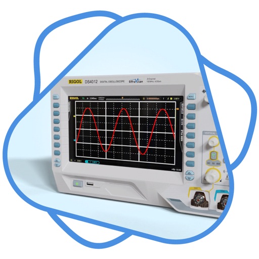
Analyze audio signals with FFT spectrum analysis and oscilloscope display. Generate test signals and measure frequency responses. Sync FFT sweeps for real-time frequency characteristic observation. Input signals via connected devices.
Explore satellites that monitor weather and climate change using augmented reality. Complete missions to learn about satellite instruments, data transmission processes, and their role in weather forecasting.