Displays current location, altitude, ground speed, and course on a map. Navigate back to launch point or set waypoints. Records flight data and allows playback of flight logs. Syncs with Apple Watch for real-time tracking.
Navigation allows users to view property line , parcels, and public lands. Access land ownership details and map layers for 50+ states including hunting zones and restricted areas.
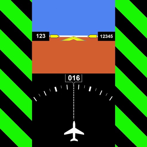
Customize dashboards with configurable gauges like speedometer, odometer, GPS altimeter, barometric altimeter, accelerometer, artificial horizon, compass, and elapsed time. Swipe to switch views and access real-time sensor data from iPhone or iPad.
Photos with GPS data including , time, weather, and compass. Share geotagged photos with contacts. Add map markers, latitude, longitude, and altitude to images. Stamp photos with date and time. Sync data with captured photos.
Track sessions with GPS to monitor speed, distance, altitude, and time. Save runs with interactive maps showing routes. View calories burned during each run. Set and adjust fitness goals for .
Capture photos and overlay custom titles, MGRS grid, coordinates, UTC/local time, and altitude. Choose which data to include. Save images or share them via text.
Display True North or Magnetic North directions. Show rose with customizable colors and designs. Accurately navigate globally with GPS support. Track movement and orientation during outdoor activities.
Find hikes or ski tours tailored to your preferences. Create and save personalized routes using the route planner. Track outdoor activities with precise GPS navigation. Access detailed maps for the Alpine region.