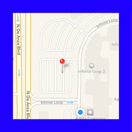
Display maps using GPS and MGRS coordinates. Measure distances and bearings between points. Save and share location data. View terrain and elevation details. Navigate with compass and grid alignment.
Displays device location as a plane with speed, direction, altitude, and geo data. Allows adding markers at specified distances or times along the flight path. Tracks movement on the map.
Create and manage custom circles on Google Maps with precise mile measurements. Add markers and save locations for real estate, delivery, or business planning. Export map data and share visualizations for location-based analysis.