Measure land , distance, and perimeter using GPS and satellite maps. Define boundaries by placing points or walk the perimeter for hands-free tracking. Save and export measurement data for professional use.
The app provides tools for geocaching, including waypoint calculations like coordinate conversions and projections. It also offers text calculations based on character values and hint decryption.
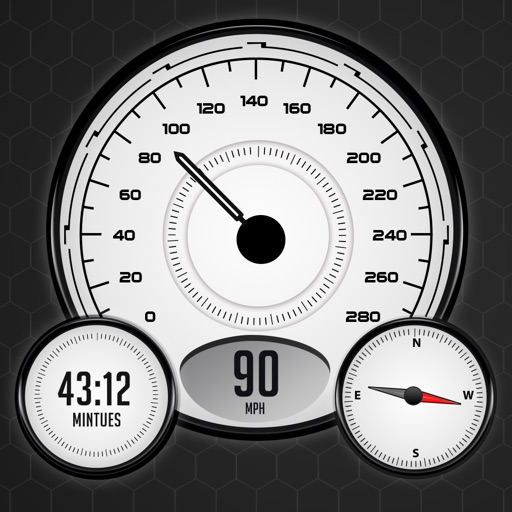
View real-time speed with a precise digital . Access an on-screen heads up display for quick reference. See interactive maps with route navigation. Track trip details including distance, time, and average speed.
Create routes for running or walking by tapping on the map. Calculate distances and areas on the map. Plot routes and get automatic directions. traveled and save route data. Sync with fitness trackers for step and tracking.
Display GPS coordinates in DMS, DDM, or DD formats. Show altitude in feet or meters. Track speed with a speedometer. Share coordinates. Switch between magnetic and geodetic north. Use flashlight for nighttime. Provide location data.
View topographical for hiking and backcountry use. Download and manage USGS and Canadian . Zoom and pan with high clarity. Share map locations and routes. Sync with GPS devices for real-time navigation.
Plan routes on iPhone, sync them to Apple Watch. Navigate without phone or network. View maps and track progress. Set waypoints and receive turn-by-turn directions. Adjust settings for different activities like hiking, running, or cycling.