Report civic issues like public safety, quality of life, and environmental concerns with real-time updates. Capture photos or videos to document problems. Submit reports for quick resolution. Receive notifications on status changes.
Capture images to extract text using OCR. Input text into an AI model for detailed answers. Save and share solutions. Solve problems, answer questions, and generate explanations.
Browse and photos with filters like date, location, and resolution. Sort by size or source. Edit full EXIF data. Share or delete photos directly. Manage library with intuitive navigation and customizable sorting options.
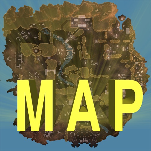
Track locations, respawn beacons, survey beacons, crates, and jump towers. Toggle points of interest on and off. Share markers with friends to coordinate strategies. View interactive map with detailed location data.