
iPhone Screenshots


Description
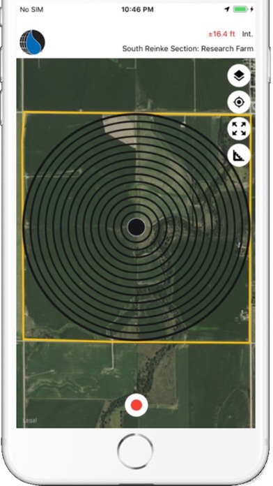
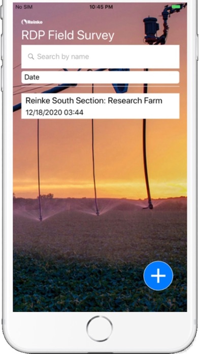
RDP Field Survey allows you to precisely capture the geographic coordinates of field boundaries and obstacles, and export this data into the Reinke Design Pro (RDP) software for designing a new Reinke irrigation system. Once the design has been completed, it can be loaded back into the app, to facility accurate placement on site.
RDP Field Survey is compatible with most external GPS antennas, achieving sub-meter level accuracy.