Explore cities with self-guided walking tours featuring popular attractions and hidden spots. View detailed maps to navigate and locate points of interest. Follow audio guides to learn about locations and enhance your walking experience.
The app provides offline GPS navigation for outdoor activities. It includes over 70,000 tours for hiking, biking, and skiing, with details like reviews, elevation models, text, and images.
The app shows London buses moving towards the user's stop in realtime. It displays bus route numbers and arrival times on a map, with bus locations updated every 30 seconds.
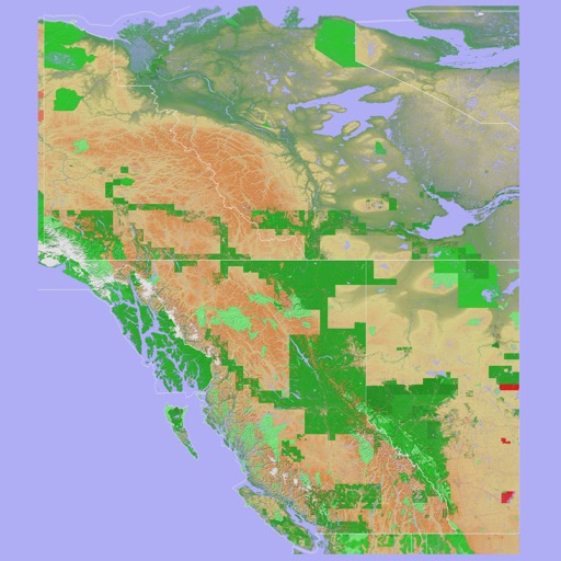
The app provides a 3D topographical map of Western Canada. Map data downloads to the device for use without an internet connection, allowing users to view terrain features as small as ten meters.
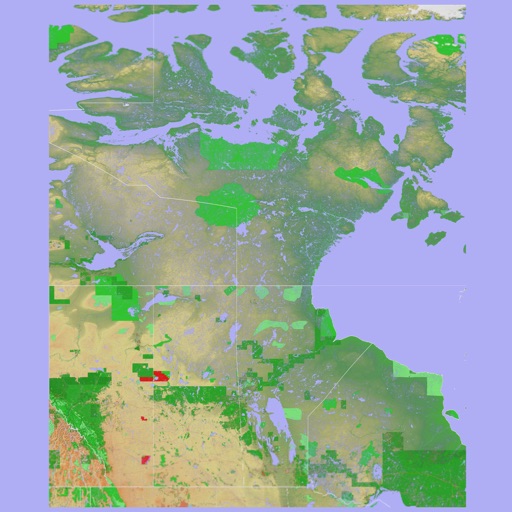
The app presents a 3D topographic map of Eastern Canada. Users can download map data for use without an internet connection, suitable for various travel methods.
The app provides offline maps for easy navigation in any situation. It helps users determine their direction and distance to destinations, locate parked cars or hotels, and identify landmarks.
The app displays interactive metro maps for Taipei, Taoyuan, Taichung, and Kaohsiung. Users can plan journeys, find nearby stations, and view station details.
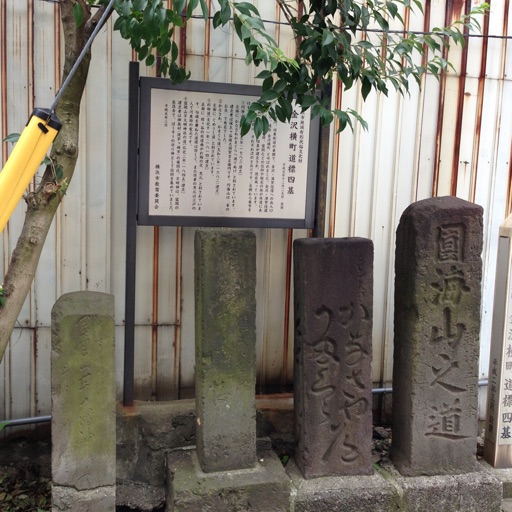
The app introduces users to historic spots in Hodogaya, Japan, using a map interface. It allows users to explore the town's historical locations while walking.
The app provides a route map with a station index and line overviews. It includes GPS support to find the closest station and high-resolution graphics for retina displays.
Find the nearest station using GPS. View detailed routes with transfer points. Quickly access any station via the stations index. See station order and transit options on each line. Display high-resolution maps for clear navigation.