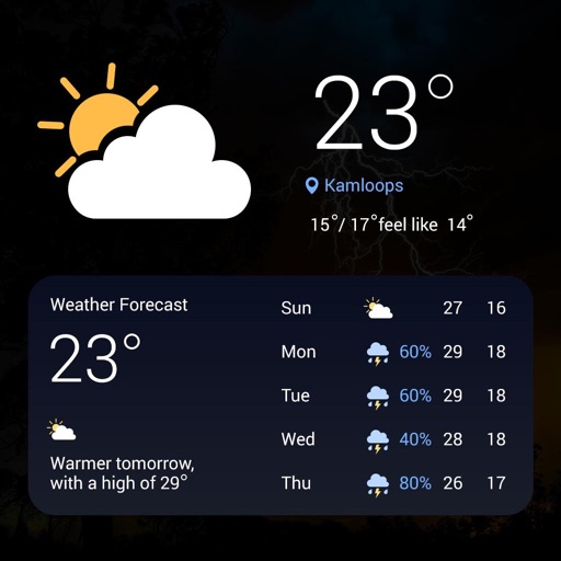
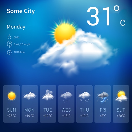
Monitor current conditions with radar, satellite imagery, temperature, and surface wind data on an interactive map. Receive automated alerts for up to eight locations, including your phone's current position.
The app provides detailed, up-to-date forecasts and location-specific alerts from the local KXLY First Alert weather team. Users can view live and future radar, satellite imagery, temperature, and wind speed maps, and check local school closures.
View real-time and forecast air index data for specific locations. Check daily counts and five-day allergy forecasts. Access NOAA Doppler radar and weather maps for pollution, air , and .