View global weather data from GRIB files including wind, precipitation, pressure, temperature, waves, and more. Overlay weather information on custom map locations. Watch animated weather maps. Analyze trends and save data for later reference.
Provide real-time weather updates with hourly and 5-day forecasts. Display sunrise and sunset times. Show wind speed, gusts, and direction. Include additional meteorological parameters. Allow users to leave reviews and suggestions via email.
View real-time maps showing precipitation types like rain, snow, and hail. Access detailed 24-hour and 14-day forecasts for any location. Receive severe weather alerts and track current conditions globally.
Displays and heights for over 3200 coastal locations. Shows first/last light, sunrise/sunset, and moon phase data. Supports local time with daylight saving adjustments. Switch between metres and feet.
Navigate using GPS, AIS Online, and radar. View charts for coastal boating, sailing, and fishing. Track tides and currents. Set anchoring points. Sync with Apple Health. Share routes and waypoints.
Track current , precipitation, and temperature. View imagery and storm tracking. Set customized alerts for severe . Forecast daily and hourly conditions. Share data with others.
View real-time heights and predict high and low . Access charts, tables, and maps for over 17000 coastal locations. Track with a dedicated watch interface. Set alerts for specific events. Share data via email or social media.
Display times with clear, easy-to-read countdowns for full and new moons. Track major and minor feeding times. View future days. Set timezones for accurate local times. Rate current conditions.
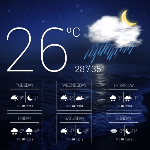
Current shows temperature, icon, and 'feels like' temperature. Displays rain, wind speed, direction, and gusts. Includes widgets for quick views. Allows offline mode for no internet access. Provides hourly and 7-day forecasts.
View hourly and daily with temperature, precipitation, and wind details. Track severe alerts and radar imagery. Set location-based notifications and customize alerts for specific conditions. Share with others via social media or messaging.
Monitor activity with satellite detection, thermal imaging, and weather forecasts. Track large points, view potential indexes, and access national incident reports. Check danger ratings and expected large fires per region.
View tidal data, solar and lunar times, and forecasts in one interface. Check tide predictions, advisories, and sun/moon schedules. Plan activities like fishing, boating, or diving based on real-time and forecasted conditions.
Monitor activity and space weather events. Receive alerts for potential hazards. Track radiation levels and geomagnetic storms. Provide safety recommendations for travel and infrastructure.