

Apps Like Dzhantugan for iPhone and iPad
Dzhantugan screenshots
Ranked alternatives
Showing 1–20 of 1,000 ranked alternatives.


Sydney Climbing Guide
Quoll Designs Pty Ltd
Guidebook to Sydney rock climbing areas.
The app details rock climbing areas near Sydney, Australia, featuring 165 crags and 2191 climbs. It includes bouldering, photo topos, and integrated maps for finding crags, allowing users to record ticks, projects, and notes.


Guidebook
Guidebook Inc
Build schedules, access info, view maps, search
Create and manage personal schedules and to-do lists. Access details about speakers, sponsors, and exhibitors. View venue and local area maps. Search for information within the . Send private messages to other attendees.


Mountain Project
Adventure Projects Inc.
Find climbing areas and navigate to them
Find climbing areas with map navigation and locate them. Search over 155,000 routes by discipline, difficulty, and star rating. Download route details, photos, and topos for offline use.

iClimbing
versante sud srl
Browse climbing guidebooks on iPhone.
The app allows users to browse guidebooks on their iPhone, iPod touch, or iPad. Users can discover climbing locations and gyms, applying filters for features and difficulty.

MTB Project
Adventure Projects Inc.
Explore trails with GPS and maps
Explore mountain biking trails with offline maps and GPS route details. View elevation profiles and interactive features. Access photos and expert recommendations for rides near you or in searched locations.

Climbing Weather
Jonathan St. John
Weather forecasts for United States climbing.
The app provides current weather forecasts for more than 300 United States rock climbing locations. It informs users about optimal times for climbing and when conditions may require them to leave.


Hiking Project
Adventure Projects Inc.
Explore hikes with GPS and maps
Find trails with detailed GPS routes, elevation profiles, and interactive maps. View photos and expert insights for each trail. Search for hikes by location or area. Plan routes with suggested highlights and difficulty levels.

Colorado Pocket Maps
Alex Gugel
Plan trips and download park
Plan trips to parks with downloadable and guides. Access 100+ parks, 290+ from federal agencies, and 3,000+ campgrounds. View Motor Vehicle Use and visitor for national forests.
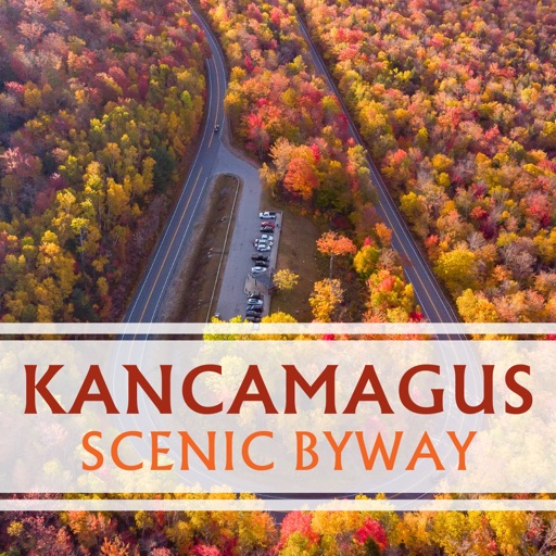
Kancamagus Byway: GPS Guide
Historic Day Trips, LLC
Drive along the Highway
Navigate the Highway with GPS turn-by-turn directions. View points of interest, historical facts, and seasonal highlights. Save favorite stops and access trail maps. Share locations and receive real-time traffic updates.


myAmaCruise
AmaWaterways, LLC
Track cruise route, view ship location, explore
View real-time cruise tracking maps with ship location, destination photos, and shore excursion details. Upload and organize river cruise photos to a personal album that pins images to the map for easy reference.
How we rank alternatives
Apps are ranked by functional similarity, category fit, rating confidence, and popularity.