Plan trips with real-time route options, fare details, and estimated travel times. View timetables, station exits, and area maps. Search for locations and navigate using integrated public transport networks.
The app provides a free worldwide sea chart with chartplotting and tracking capabilities. Users can create, edit, and export waypoints, mark locations, and cache map tiles for offline use.
Monitor and measure electrical parameters like current, voltage, and RPM. Record data and upload it online. Track routes on Google Maps. View detailed interactive charts. Share links with others. Adjust speed modes and create videos with overlays.
View and navigate electronic charts, including TX-97 vector charts. Access navigational data and additional content. Purchase and download chart folios through the Chart Store. Display real-time positioning and route information.
The app provides 3D topographic maps for iPad and iPhone. Vector map data is contained within the app for offline use, supporting navigation in various environments.
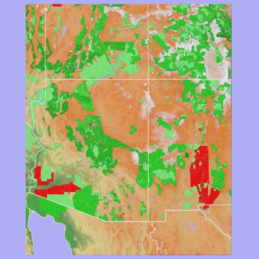
Navigate using a 3D topographic map of the USA with offline access. View vector map data without internet. Use in vehicles or during hikes. Switch to global online maps with automatic caching for areas without coverage.
The app provides nautical charts for Finnish sea and freshwater areas. Users can view approximate locations, marina information, and create points of interest.
The app provides offline mapping for the Lake District, featuring Ordnance Survey data. It includes route management, offline search for places and roads, and GPS position display.
Turn your iOS device into a digital depth finder. View real-time depth readings adjusted for tide levels. Access live tide data and NOAA RNC nautical charts. Navigate coastal waters, Lakes, and Lake Champlain. Set and track ports of call.
The app displays real-time GPS position on marine charts derived from NOAA data. It includes features for waypoints, routes, and AIS overlay when connected to a compatible system.
Access real-time subway data and detailed route maps. Find optimal transfer routes with time, cost, and distance details. Discover nearby attractions and navigate with real-time guidance. Retrieve station information and surrounding services.
Explore city and detailed maps with offline access. Find restaurant and nightlife recommendations. Choose city guides for on-the-go navigation. View overview and location-specific maps for planning trips.
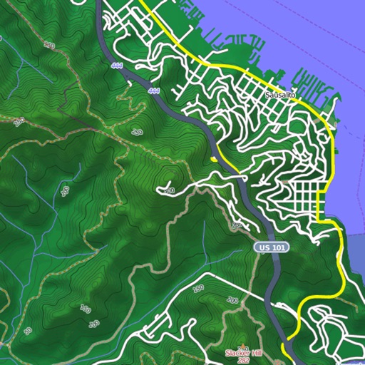
View and download detailed maps with topographical hillshading and contour lines. Store maps for offline use. Navigate using detailed terrain features. Find hiking trails, ski runs, and back streets.