Determine optimal times for boating, swimming, and dog walking using tide data. View current tide heights and interactive tide graphs. Set location-based alerts for tidal changes. Share tide information with others.
The app provides live tide information for planning activities. Users can view tide graphs, moon phases, and sunrise/sunset times for approximately 1870 stations across the US and Canada.
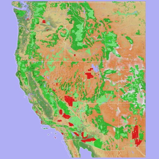
Navigate using a 3D topographic map of the USA and Hawaii. Access offline vector maps for navigation in vehicles or outdoors. Switch to online maps for global coverage with automatic caching. Explore locations with zoom and scroll features.