Research property details by address, owner, PIN, or REID number. Tap the map to view building photos, deed links, real estate data, and civic service info. Access map layers for zoning, soils, greenways, and topography.
by City of Raleigh★ 4.528 ratingsProductivityFreeData updated 2026-09-08
The app provides tools for timber stand basal area estimation and GPS data collection. Users can map land parcels, create grid points, and import or digitize features.
Configure zones, view system status, control devices
Manage and configure zoning systems through a graphical interface. Visualize system status, adjust settings, and control zones remotely. Connect via WiFi or cellular to a network controller. Requires specific hardware for Bluetooth connectivity.
Find full addresses, zip codes, and location details by selecting points on a map. Retrieve latitude, longitude, time zone, and local time. Access raw data from a database.
Organize tasks with maps. Auto-arrange nodes, drag to reposition, and copy branches. Track progress with color-coded maps. Set reminders and add notes. Share maps with friends or export as images.
Create roof measurements using satellite, aerial, drone, or blueprint images. Generate digital pitchbooks with auto pitch detection. Organize property photos by project. Manage customer contacts and tasks. Access digital manufacturer catalogs.
Pipeline and Hazardous Materials Safety Administration
View pipeline maps and operator details
View hazardous liquid and gas pipeline maps. Identify pipeline operators, transported materials, and contact information. Search by county, offshore area, or proximity to user location.
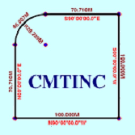
The app converts real property descriptions into boundary maps. Users enter angles and distances to draw property boundaries, displaying closure error, total area, and perimeter.
Explore historical sites linked to the murder with interactive maps. Access expert-reviewed narratives, archival documents, and photographs at each location. Learn about events from 1955 and how sites have been commemorated over time.
Historical sites and landmarks in . Take self-guided tours of historic locations. Learn about notable people, events, and places. Access curated stories and interpretive content about the state's .
Allows users to integrate with multiple CMS systems and auto pull claims. Claims are displayed on a map with distance calculations and street/aerial views. Users can view a 16-day weather forecast, add personal notes, and schedule inspection events.
The app allows users to search property listings with filters in list or map views. Users can save properties and receive notifications for new listings matching their criteria.
Global with satellite imagery and topographic details. Explore nearby locations and access real-time data. Zoom in for detailed views and switch between map and modes. Track locations and save favorites for future reference.
The app converts Stereo70 coordinates to WGS84 (ETRS89) or vice versa. It allows users to check locations on a map and offers features like saving locations and dark mode.
Access services and information through a mobile . Report issues, view calendar events, and stay updated with news. Find council members and government transparency details. Connect with community resources and contact officials directly.