Research property details by address, owner, PIN, or REID number. Tap the map to view building photos, deed links, real estate data, and civic service info. Access map layers for zoning, soils, greenways, and topography.
by City of Raleigh★ 4.528 ratingsProductivityFreeData updated 2026-09-08
The app measures distance, area, and perimeter on a map using manual input or GPS tracking. It allows users to label, save, and share points in KML format, and check bearing and geo-coordinates.
View tide predictions with detailed forecasts and historical data. Access real-time weather data from over 3,300 stations. Explore interactive almanacs for future planning. Use the station map for location-based weather insights.
Control vacuum cleaner operations with start, pause, and return commands. Manage schedules and customize settings. Monitor status and receive notifications. Adjust zones and map floor plans.
, Keynote, and Numbers offer 100 professional designs. Users can create annual reports, plans, and meeting agendas. include legal documents, brochures, and cards. Customize layouts and export directly to Apple apps.
Access detailed biographies of U.S. with offline and online Wikipedia links. View birth and death dates, full names, vice , and presidential terms. Explore notable quotes, fun facts, and career history before and after presidency.
Scan and connect to networks using map-based location. available networks and their positions. Scan QR codes for quick connection without typing passwords. Display device IP address and network status. Show connected devices and their details.
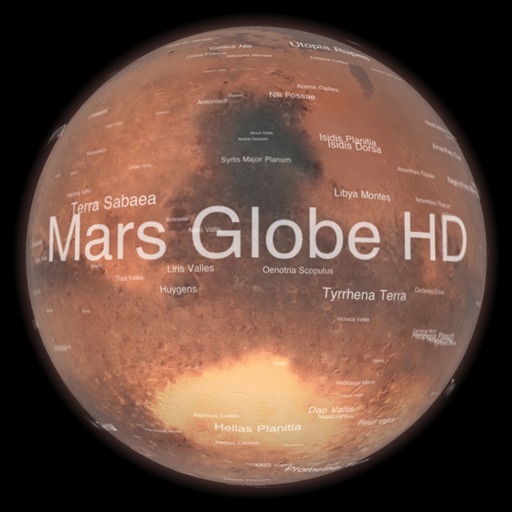
Explore with a high-resolution satellite map and topographic lighting. View over 1500 annotated surface features with detailed information and links. Navigate the virtual freely or follow a guided tour.
Manage services, record attempts, map routes, notify
View jobs on an interactive map or list with details like due dates, client info, and addresses. Plan daily routes using job data. Record in-field attempts and send client notifications. Track service progress and manage job details remotely.
The app allows users to find the location of pipelines operated by Marathon Pipe Line LLC. Users can view pipeline details, access emergency response guidelines, and share their location on the pipeline map.
The app converts real property descriptions into boundary maps, displaying angles, distances, closure error, area, and perimeter. It offers stakeout functions for deed plots and individual points, with optional navigation beeps and GPS toggling.