Apps Like Speed Tracker: GPS Speedometer for iPhone and iPad
Track , time, and distance
Record , time, distance, heading, and elevation during trips. Track GPS data and view trip statistics. Enable head-up display for real-time information on the windshield. Sync with devices and save trip details for later review.
by Oxagile LLC★ 4.66,204 ratingsNavigationFreeData updated 2026-09-08
Track speed with accurate GPS measurements and view average and maximum speed per trip. Choose units and monitor distance traveled and estimated travel time. Use turn-by-turn navigation to build routes.
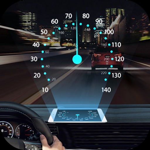
Projects speed, clock, weather temperature, cruise control, and now playing song information onto the windshield when iPhone is rotated and placed near the windshield. Displays data in landscape mode for easier visibility while driving.
Track with GPS-based real-time analytics. View current , historical data, and location markers. Set limits and receive alerts when exceeded. Export data for review and share results.
Track real-time speed during walks, runs, bike rides, car travel, train journeys, or flights. Record detailed trips with start and end times, distance, and average speed. View logs to review past journeys and analyze performance metrics.
Monitor vehicle with real-time current, average, and maximum readings. Track distance traveled. Use HUD mode to project onto windshield. View map-based location tracking. Switch between miles per hour and kilometers per hour.
Track , route, and trip statistics with real-time GPS data. Monitor distance and performance metrics during drives. Record detailed travel history with precise location tracking.
The app records and exports user trips for geo-tagging or trip management. It displays live paths on a map and provides details like speed, distance, and altitude.
Log trips with real-time speed, direction, and distance tracking. Store past journeys for review. Export trip data as GPX, KML, or GeoJSON for use in other applications.
Monitor , distance, and travel statistics in real time. Display data on a heads-up display for easy viewing. Track performance metrics and save session data for later review. Sync with devices to share results.
Display real-time speed with a digital interface and set speed alerts. Track routes on a built-in map, save trip history, and export tracks in GPX format. Switch between light and dark themes.
Navigation allows users to view property line , parcels, and public lands. Access land ownership details and map layers for 50+ states including hunting zones and restricted areas.
Track real-time speed using GPS in km/h or mph. speed on a clear interface. Monitor distance traveled and trip duration. Set speed alerts and receive notifications. Sync data with other apps for detailed analysis.
Measure for walking, jogging, cycling, driving, sailing, and flying. Display in metric or imperial units. Switch between units and view dual scale readings.
Displays speed in and distance traveled using GPS. Tracks maximum speed with vibration alerts. Shows position and time of maximum speed on a map. Switches between light and dark modes. Notifies of GPS measurement errors.