Enter coordinates to set destinations and follow a compass-based route. Save location tags in a profile to mark important stops. Load, edit, and reuse profiles to navigate between saved locations.
Record GPS tracks of trips and analyze statistics. Share routes with friends. Use efficient background tracking to minimize battery drain. Supports Open Street Maps and Google Maps.
Measure land , distance, and perimeter using real-time GPS. Mark points on a map to calculate fields, plots, and paths. Switch between and distance modes. Supports units like acres, hectares, and square feet. Save and export data.
Track and analyze animal behavior with detailed profiles and GPS-linked stand locations. Record and store weather data including temperature, pressure, wind direction, and moon phase. View and organize deer sightings directly on the device.
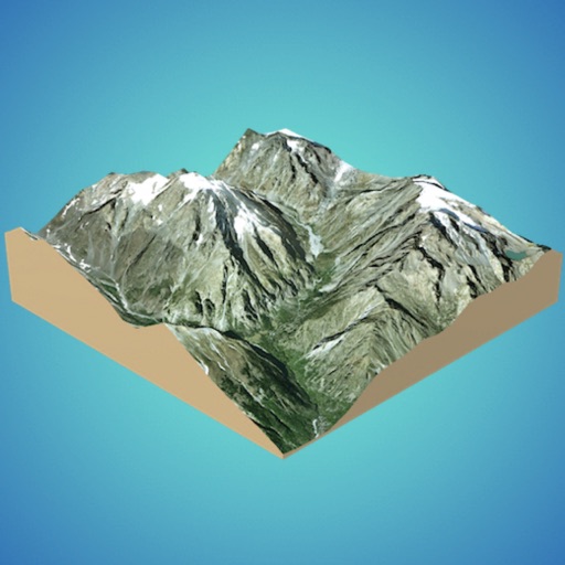
Create 3D models from online sources like Bing Maps or local cloud points. Export data as CSV, TXT, STL, or OBJ. Modify models by cutting, scaling, and animating. Calculate surface areas and volumes in real-world units.
The app provides real-time GPS tracking for pets with no distance limits. Users can define safe zones and receive alerts for entry or exit, and view position history.
The app provides tools for geocaching, including coordinate guidance, projection, and distance calculations. It also offers various encoding and decoding tools, interactive data tables, and unit converters for different measurements.
Navigate using a GPS to any saved location. Save current position, input coordinates manually, or extract GPS from photos. View saved points history and export coordinates to Google or Apple Maps.
Land using GPS technology. Define boundaries on maps to calculate plot sizes. Calculate distances and areas for properties or regions. Save and share measurement data. Sync with mapping services for accurate results.
Convert between decimal degrees, degrees and decimal minutes, and degrees-minutes-seconds. Display all three formats simultaneously. Enter in any format for instant conversion.
Convert GPS coordinates to UTM and RD Rijksdriehoek formats. Input coordinates in decimal degrees, degrees decimal minutes, or degrees minutes decimal seconds. Use a dedicated keypad for UTM entry. Display results for both UTM and RD systems.
Use to view a digital overlay. Navigate using GPS for real-time directions. Check accuracy based on device sensors. Adjust orientation for precise navigation.
Display and coordinates using iPhone GPS. View precise location data instantly. Features a clean interface for quick reading of coordinates. No unnecessary features or tabs.