Measure land area, perimeter, and distance with precise calculations in feet, inches, yards, or feet. Display multiple plots on a map with intermediate distances. Overlay French land registry data for accurate plot measurements.
by antoni michel★ 5.01 ratingsUtilities$20.99Data updated 2026-09-08
Calculate , perimeter, , and weight for 170+ geometric shapes. Input measurements or use calculation methods for missing values. Select materials like metal, wood, or liquid to determine weight. Search shapes by typing or swipe through categories.
Convert units between length, weight, temperature,
Convert units of length, weight, temperature, volume, and speed. Switch between miles, kilometers, Celsius, Fahrenheit, gallons, liters, and more. Calculate conversions instantly and save frequently used units.
Log trips with real-time speed, direction, and distance tracking. Store past journeys for review. Export trip data as GPX, KML, or GeoJSON for use in other applications.
Lets users measure distances and areas on maps. They can plot radius areas with specified centres and sizes. Share maps as images to show routes, areas, or radii. Adjust colors and export map views.
The app calculates distances and bearings between two points using latitude and longitude. It can also determine a final position from a starting point, distance, and bearing.
Distances with a 5-meter by aligning the phone on a surface and sliding it for accurate readings. Use mode to small objects by placing the phone between them and viewing the result. Save and share measurement data directly.
Create detailed floor plans using 3D measuring tools. Measure objects or rooms by taking photos or using the screen. Leverage AR to visualize dimensions and spatial relationships. Export plans and share them directly.
The app displays atmospheric conditions and water temperatures for Lake Mendota. It provides near real-time details including wind, air temperature, and water temperatures from the surface to 66 feet deep.
BALLISTIC SOLUTIONS RESEARCH & DEVELOPMENT SOFTWARE SIARHEI RAICHONAK
Jet your with precise settings
Provides recommendations for 125 Max non-EVO engines based on temperature, altitude, humidity, atmospheric pressure, and engine configuration. Displays carburetor type and restrictor options.
Visualize elevation, slope, and contours in 3D. Export data to DXF, SHP, CSV, OBJ, glTIF, and STL. Analyze terrain features and integrate with AutoCAD and GIS software. Perform quick data exports and simplify complex GIS tasks.
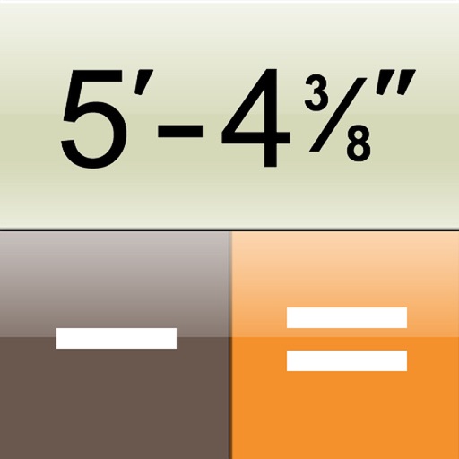
The app is a construction calculator for feet, inch, and fraction dimensions. It transforms the iPhone into a calculator that inputs and outputs dimensions as they appear on a tape measure.
Track racing times using GPS at 60 feet, 330 feet, 660 feet, 1000 feet, 1/4 mile, and 1/2 mile. Record and view session data. Export results and share via email. Requires secure installation on a vehicle dashboard for accurate measurements.