The app allows users to create and edit information in OpenStreetMap. Users can add points of interest, streets, paths, buildings, and bodies of water, with full undo/redo support and offline capabilities.
by Bryce Cogswell★ 4.8341 ratingsUtilitiesFreeData updated 2026-10-08
Track flight logs and currency status. Enter new flights with auto-location features. View flight totals, search entries, and see flight routes. Access data from any device and store information in the cloud.
Provides maps for navigation without internet connection. Includes detailed vector maps with zoom capabilities. Displays points of interest and updated locations. Helps avoid roaming charges by using local data.
Provides navigation with detailed vector maps that support zooming at any level. Includes continuous updates from OpenStreetMap. Helps avoid roaming charges by offering local map data.
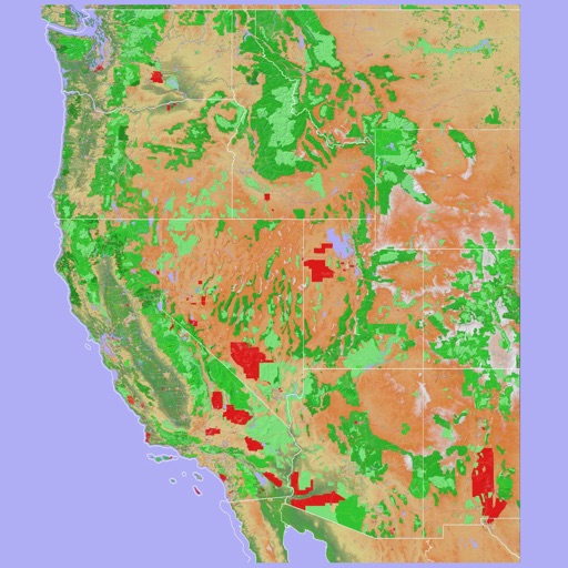
Navigate using a 3D topographic map of the USA and Hawaii. Access offline vector maps for navigation in vehicles or outdoors. Switch to online maps for global coverage with automatic caching. Explore locations with zoom and scroll features.
View and analyze GPX and KML files to explore existing tracks or plan new routes. Display detailed maps with waypoints, paths, and elevation data. Share tracks via email or social media. Sync with GPS devices for real-time navigation.
Provide turn-by-turn voice with real-time traffic updates. Display maps and satellite views. Access offline maps and GPS directions without internet. Find nearby food, events, and activities. Include Google Street View for location details.
Find Points of Interest with detailed categories including hotels, restaurants, hospitals, and tourist attractions. Search for locations, view , and access offline routes and POI data.
Share real-time GPS location via email, text, or social media. Recipients receive a map link showing your position. Supports multiple coordinate formats including degrees, UTM, and MGRS. Compatible with Apple Maps, Google Maps, and Bing.
The app tracks trips and exports data in gpx and kmz formats. It synchronizes local tracking data with a configurable OpenGTS server for fleet tracking.
Swipe through satellite images to identify villages and structures in crisis areas. Mark locations to aid humanitarian efforts. Share findings to support mapping initiatives for vulnerable populations.
The app provides a free worldwide sea chart with chartplotting and tracking capabilities. Users can create, edit, and export waypoints, mark locations, and cache map tiles for offline use.