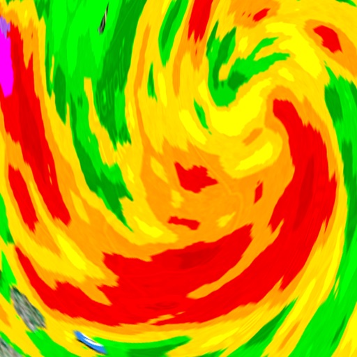
Receive real-time weather forecasts, current conditions, and natural hazard alerts. Customize warning preferences and thresholds. Access blog posts on weather and climate. View interactive maps and radar data.
by Federal Office of Meteorology and Climatology MeteoSwiss★ 4.4141 ratingsWeatherFreeData updated 2026-10-20
Access real-time weather data with customizable storm tracking and radar imagery. Monitor live video and sensor data from cyclonePORT stations. Set alerts for severe weather conditions. Share weather updates and forecasts with others.
Tap on a map to view spot-specific forecasts. Check , sky, wind, and wave conditions. Access severe advisories and offshore zone summaries. View hourly tides and interactive tide graphs.
View current updates multiple times per hour. Access high-resolution satellite imagery and 250-meter radar. See future radar for severe direction. Add and save favorite locations. Use integrated GPS for location awareness.
Access real-time data with high-resolution radar and satellite imagery. View current conditions and forecasts updated hourly. Add and save favorite locations. Use integrated GPS for location-based alerts and tracking.
Access real-time data with high-resolution radar and satellite imagery. Track current conditions and forecasts updated hourly. Add and save favorite locations. View future radar for severe trends.
View real-time forecasts and radar images for specific locations. Set custom alerts for temperature, precipitation, and severe . Access detailed hourly and daily forecasts. Share updates with friends via social media.
View short-term (24-hour) and long-term (14-day) forecasts for any region. Check for upcoming days with details on air pressure, clouds, wind, rain, snow, fog, visibility, waves, and ocean currents.
View real-time radar with 250-meter resolution and future storm path predictions. Track severe alerts and forecasts. Receive localized updates for Charlotte. Access detailed storm outlooks and radar images.
View current and forecasted weather with hourly and 7-day predictions. Check high/low temperatures, humidity, wind, and sunrise/sunset times. Use GPS for location-based updates. Access animated radar. Share weather updates on social media.
View current weather updates multiple times per hour. Access high-resolution satellite cloud imagery and 250-meter radar. Track severe weather with future radar projections. Save favorite locations and use integrated GPS for location-based forecasts.
Receive alerts for severe storms in Western North Dakota. View current conditions, hourly forecasts, and 7-day predictions. Access interactive radar maps and submit local photos or videos. Check school and business closings.
Access real-time updates multiple times per hour. View high-resolution satellite imagery and 250-meter radar. Track severe with future radar projections. Add and save favorite locations. Use integrated GPS for current location data.
Access real-time weather data and live wind reports for sailing activities. View for racing, sailing, and cruising. Locate Tempest Weather Systems near shore markers, buoys, piers, yacht clubs, and waterfront areas.
View current updates multiple times per hour. Access high resolution satellite imagery and 250 meter radar. Track severe with future radar predictions. Save favorite locations and use integrated GPS for location awareness.
View current updates multiple times per hour. Access high-resolution satellite imagery and 250-meter radar. Check hourly and daily forecasts from computer models. Add and save favorite locations. Use integrated GPS for location awareness.
Monitor solar activity and its impact on Earth. Track earthquake events and high-risk areas. Access 80+ solar video streams and 30+ real-time data feeds. Receive alerts for potential events and planetary disturbances.
View current updates multiple times per hour. Access high-resolution satellite imagery and 250-meter radar. Track severe with future radar predictions. Save favorite locations and use integrated GPS for location-based forecasts.