Enable location sharing between devices using GPS data without cellular connectivity. Access high-level location information on iPad via tethering from iPhone. Record and track location data with built-in logging features.
by Tama Co.,Ltd.★ 1.01 ratingsNavigationFreeData updated 2026-09-08
Track vehicle locations in real time using GPS. Set geofences and receive alerts. View asset history and manage multiple devices. Receive notifications for unauthorized movements. Export location data for records.
Stream GPS NMEA data in real time to external devices. Send location information to computers or other systems. Requires compatible navigation software that can use an external GPS unit.
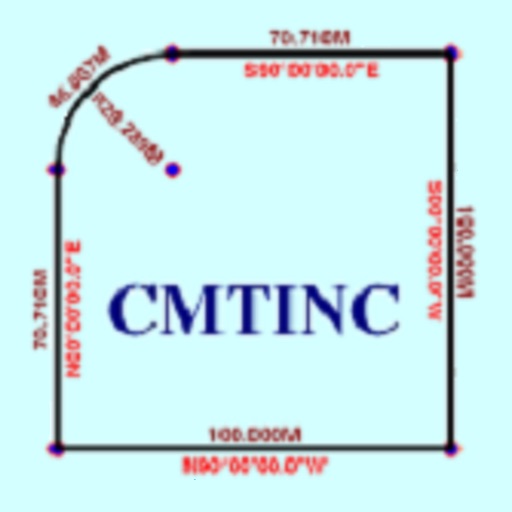
The app converts real property descriptions into boundary maps. Users enter angles and distances to draw property boundaries, displaying closure error, total area, and perimeter.
Learn burrito ingredients and read reviews from Yelp and Yahoo. Find nearby taco shops with navigation features. Save locations to contacts with phone number, address, title, and website. Share locations via text or email.
View vehicle location in real time. Check historical route data and generate reports. Set up alerts for unauthorized movement. Enable remote tracking and theft prevention features.
The app offers information about the 870-mile Wales Coast Path and over 150 beaches. It includes route details, weather links, tide times, and a feature to find nearby beaches and facilities.