Apps Like Map Notes My Location for iPhone and iPad
Save coordinates and edit map data
Save and edit coordinates with latitude and longitude. Use GPS to capture current position or search by keyword. View maps and annotate locations with or tags. Share data via copy or export options.
by SHIGETO TAKAGI★ 4.65 ratingsUtilitiesFreeData updated 2026-09-08
Felipe Braunger Valio Desenvolvimento de Sistemas Ltda
Find Power Moons and explore the map
Track locations of Power Moons and other items on a map. Mark and save discovered items. Explore the game map with detailed navigation. Unlock additional features via in- purchases. View item locations and progress towards completion.
Track individuals' locations using their number, contact list, or manual input. Send an SMS request to obtain precise GPS coordinates displayed on a map. Monitor real-time movement and view historical location data.
Find direction using location and . Display accurate heading. Show prayer times based on location. Include Kaaba location details. Allow users to set prayer reminders. Share direction via social media.
Capture GPS coordinates with a simple interface. Add descriptive notes to each location. Export data in multiple formats. Sync with Geographic Information Systems for mapping and analysis.
View current position with live map updates. Access coordinates, addresses, and area names. Track movement history and export logs as text files. Manually or search for locations to save or share.
Track locations, remove data, create travel maps, and use watermark camera features. View and edit tags. Share -based content. Sync travel history across devices.
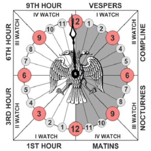
Track prayer times based on time calculations. Adjust for location using GPS or manual input of coordinates. Display times in 12-hour format starting at evening. Include historical context about ancient Judean timekeeping methods.
Read and write NFC tags using iPhone 7 and later devices. Support STMicroelectronics Type5 and Type4A tags. Access clips via URL. Edit user memory on Type5 tags. Perform actions based on NDEF content.
View maps of New City, including subway and airport routes. Navigate using real-time GPS without internet. Bookmark addresses for trip planning. Access top attractions and explore without data usage.
Track members' real-time locations with precise geolocation. Receive instant notifications about movement and arrival at destinations. Set up alerts and view activity history for and awareness.
Monitor vehicle location with real-time tracking and pinpoint coordinates. Check speed, status, fuel level, and odometer. View battery voltage and A/C status. Receive updates on vehicle movement and position.
Track routes for hiking, running, cycling, and other activities with GPS. View recorded paths on maps. Save favorite locations for quick access. Measure distance, speed, and elevation. Export data in various formats.