Identify satellites by pointing the iPhone at the sky. View over 20,000 satellites day or night. Pan the Earth, zoom in on locations, and take photos. Track the International Space Station, Hubble, and GPS satellites.
Point your smartphone at the night sky to identify constellations, stars, and satellites. AR overlays display celestial names in real time. Swipe to navigate different directions. Receive alerts for ISS passes and meteor showers.
Capture and scan objects or spaces to create detailed 3D models using camera zoom, auto-timer, and manual focus. Scan areas by walking with a mini-map, interactive camera views, and real-time raytrace preview.
Reference "Access detailed astronomical data and star maps. Plan observations and track celestial events. Control telescopes and cameras remotely. Customize UI themes and view high-resolution sky charts."
Monitor -Fi speed changes over time and identify areas with the fastest and slowest connections. Locate optimal spots for routers or access points to improve network performance. Visualize signal strength and coverage maps.
Scan barcodes and IDs with high performance and accuracy. Support 30+ barcode types and 2500+ ID documents. Batch scan multiple codes. Use AR for enhanced scanning. Pre-built UIs for quick integration.
Distances using Augmented Reality. Tap to place markers and calculate lengths. Undo measurements. Choose different colors for markers. Take screenshots. Switch between metric and imperial units.
Convert real-world objects into 3D models by capturing images and LiDAR data. Use a compatible RTK device for precise measurements and geolocation. Visualize models in the , upload, export, and view them in augmented reality.
Monitor electromagnetic fields from 5G satellites in real time. Use augmented reality to visualize satellite positions and view current EMF radiation levels.
Create plans by measuring spaces with your camera and augmented reality. Save plans as image, PDF, or SVG. Edit plans, add notes, and calculate square footage. Works on ARKit-enabled devices.
Displays satellite positions as a red dot over the camera view. Guides users to align satellite dishes by showing direction and distance to the selected satellite. Alerts about obstructions between the user and the satellite.
Explore astronomy with daily high-quality space images and wallpapers. Access latest NASA news and discoveries. Search astronomy keywords in a comprehensive database. Learn about missions, spacecraft, and space observations.
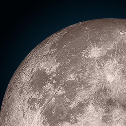
View the position through augmented reality. Explore 2D and 3D lunar path visualizations. Access detailed data tables showing phases, eclipses, supermoon dates, moonrise and moonset times, and age.
3D scans, images, audio, and field notes using smartphone or tablet. Record depth and location data via camera, LiDAR, and GPS. Create digital twins of crops and forests. View live augmented reality guidance during data collection.