PRO helps users locate satellites by pointing their device skyward. It displays available satellites based on location. Users can search for satellites by channel name, radio name, or provider.
Navigate waterways with detailed charts, build routes, and record tracks. View tides and currents. Set waypoints and track progress. Share maps and access free US charts for safe boating.
View current location details including latitude, longitude, altitude, and address in Decimal or DMS format. Track trip data such as distance, speed, and maximum speed. Save location and trip information for later review.
Display True North or Magnetic North directions. Show rose with customizable colors and designs. Accurately navigate globally with GPS support. Track movement and orientation during outdoor activities.
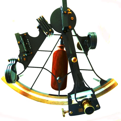
Calculate celestial navigation using the Law of Cosines method. Input Local Hour Angle, declination, and latitude to determine altitude and azimuth. Track calculations and review results for accuracy.
Measure distances and angles using a rangefinder and inclinometer. View real-time compass direction and GPS location. Overlay maps and take geo-tagged photos or videos. Calculate navigation routes and track elevation changes.
Track real-time speed and power using a digital . Monitor maximum and average speed during trips. Use a to determine direction, view altitude, and track coordinates.
Track pot depths, locations, and catch totals. Access NOAA marine maps with water depth data. Navigate to pots using map and compass. View heatmap modes for map navigation. Add notes to individual pots.
The app calculates sunrise, sunset, moonrise, and moonset times for any location. It includes a moonphase calendar, animation, and a compass showing sun and moon positions.
Provides real-time , atmospheric pressure, latitude, and longitude data. Users can switch between GPS and device altimeter for readings. Camera integration allows photo capture with location data overlay.