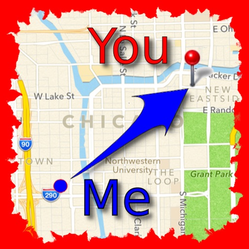
The app allows users to find friends by showing their current direction and distance to the friend's last known location. Users can label and store locations, then find directions and distance to them.
by Jaroslaw Szymczyk★ 5.01 ratingsNavigationFreeData updated 2026-10-01
Find charging stations with map view and distance sorting, filtered by plug type and power. View live charging data including power and battery levels. Pay with credit card or charge to a business account. Register charging sessions and track usage.
Find nearby bus stops with maps and distance information. View list of campus bus stops sorted by proximity. Check arrival times and next bus schedules. Track real-time bus locations and receive updates on departure times.
Find routes and get turn-by-turn . View current location and nearby places. Receive directions for accurate destination arrival. Display maps with real-time location tracking. Show nearby points of interest.
Explore by rotating, tilting, and zooming a 3D globe. Select locations to view topographical data and gravity maps. Pinpoint key features like volcanoes, craters, and spacecraft landing sites.
Track direction with a that adjusts based on your orientation. View local weather forecasts without requiring an account. Access weather widgets on your home screen. Monitor the KP index for geomagnetic activity.
Track routes for hiking, running, cycling, and other activities with GPS. View recorded paths on maps. Save favorite locations for quick access. Measure distance, speed, and elevation. Export data in various formats.
BALLISTIC SOLUTIONS RESEARCH & DEVELOPMENT SOFTWARE SIARHEI RAICHONAK
Calculate hold overs and scope settings
Calculate hold overs and scope adjustments for long range shooting. Input variables like temperature, altitude, humidity, and distance. Account for target speed, direction, coriolis effect, and slope angle.
Zones with real- day and night visualization. Explore 150,000+ global locations. Sync with current geo-based position. View differences and local times for any destination.
Find petrol stations near your current location using distance or a map. Contact stations beforehand to confirm assistance. Notify stations upon arrival for estimated wait times. Rate and review stations for feedback.
Display speed limits and alert for overspeeding. Show speed camera locations and distance. Provide average and maximum speed tracking. Include odometer and unit selection for KMH/MPH. Display current road name, weather conditions, and temperature.
Track location relative to the trail and determine direction without blazes. View distance to key waypoints. Access real-time trail maps and updates. Log hiking progress and save route history.