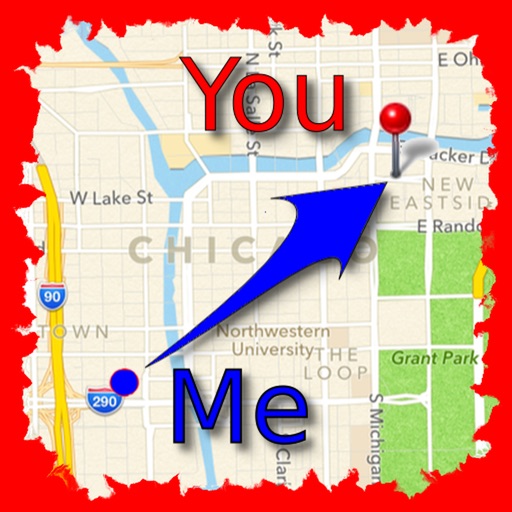
The app allows users to find friends by showing their current direction and distance to the friend's last known location. Users can label and store locations, then find directions and distance to them.
by Jaroslaw Szymczyk★ 5.01 ratingsNavigationFreeData updated 2026-10-01
Track real-time and share it with friends. Copy coordinates and perform actions on . land area using GPS and calculation tools. Find routes with distance and direction calculations.
Track speed, max speed, average speed, distance, travel time, and stop time. Measure acceleration from 0 to 60 mph. Receive speed limit warnings in HUDWAY mode. Displays trip data in a digital GPS speedometer format.
View a live map showing 3G, 4G LTE, and 5G towers with details on operator, distance, and type. Locate nearest towers and check network coverage details.
Find stargazing locations based on distance, sky quality, and observation type. Check horizon clearance, parking space, and power availability. Plan trips with detailed location details and accessibility options.
Displays and heights for over 3200 coastal locations. Shows first/last light, sunrise/sunset, and moon phase data. Supports local time with daylight saving adjustments. Switch between metres and feet.
Displays speed and distance using GPS. Tracks maximum speed with vibration alerts. Shows position and time of maximum speed on a map. Switches between light and dark modes. Notifies of GPS measurement errors. Supports motorcycles, cars, and planes.
View real-time conditions and incidents in using live data from FDOT. Access 2,245 cameras across the state. Save favorite cameras for quick access. Use map view to see current incidents and camera locations.
The app measures the elevation of locations within a 500-meter radius using device sensors and internet-based geo information. It calculates altitudes in real time and displays them in meter or feet.
Calculate driving , flight , and fuel costs between locations. View travel time and elevation data. Convert results to miles, kilometers, meters, or feet. Find coordinates in DMS or decimal format. Display road maps for routes.
Navigate to a destination by setting it via map or coordinates. View distance and direction from your current location. Works in airplane mode. Displays large, clear UI for easy reading on water or with device cases. No ads.
View current conditions and hourly forecasts for Albuquerque, Santa Fe, and New Mexico. Access interactive radar with 250-meter resolution. Track live storms and receive alerts based on saved or current locations.
Find locations aligned with life goals like love, career, and vitality using planetary and paran lines. Explore themes for relocation insights. Navigate an interactive 3D globe with city markers and precise celestial lines.
Measure distances between locations by pinning points on a map. Track real-time distance using GPS with a timer. Switch between metric and imperial units for distance measurements.
The app allows users to track contacts' locations in real time on maps and send instant messages. Users can also get directions to a friend's location and search for nearby places.