

Apps Like Global Locator for iPhone and iPad
Position data in many formats.
The app provides coordinate reading and navigation for users needing exact position data. It supports multiple coordinate formats and works without a connection for conversions and saved places.
Global Locator screenshots
Ranked alternatives
Showing 161–180 of 1,000 ranked alternatives.

Topo maps - Sweden
Shingle Oy
Save tracks and view topography offline
Use topographic of for accurate navigation. Save and view tracks with detailed information. Export tracks as GPX files and import place marks. Measure distances on . Access offline without internet connection.

Topo maps - Norway
Shingle Oy
Detailed topographic map of Norway.
The app provides detailed topographic maps of Norway for offline use. Users can download map areas, record tracks, plan routes, and measure distances and angles.

Topography
Georgios Graikousis
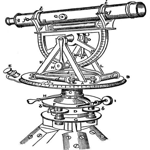
Measure surface area and convert coordinates.
The app converts coordinates to UTM EGSA87 Datum and calculates polygon area in square meters. It sends measurements via email in DXF, KML, or TXT file formats for use in various applications.

Topo Maps US
DC Cloud Apps, LLC
View topographic offline
View topographic of the United States with options for standard or hybrid map sources. Download for offline use and track current location on the map. Navigate using map features and explore terrain details for outdoor activities.

Earthmate
Garmin International
Navigate and communicate on adventures.
The app pairs with an inReach device to send messages, navigate, and track locations. It provides offline maps, aerial imagery, and trip logging for outdoor adventures.

EasyTrails GPS
Zirak Srl
Track trails, log routes, and map
Track outdoor activities with real-time GPS mapping, displaying distance, time, elevation gain, and speed. Compare routes with downloaded tracks and view points of interest.

MapTrace+
Nasir Jeevanjee
Track terrain and analyze coordinates
Trace paths on maps to analyze elevation, distance, gradient, and bearing. View elevation and grade profiles of traced routes. Calculate area of arbitrary paths. Use satellite or default map views for terrain study.

Speedo - Speedometer GPS
Minh Nguyen
Track speed, view odometer, log trips
View current speed with a scalable . Track total distance and trip data including max and average speed. Export trip data as GPX, CSV, or KML files. Receive alerts when speed exceeds or falls below set limits.

Field Triangulate
Neukadye, LLC.
Determine remote GPS location with bearings.
The app determines a remote GPS location using compass bearings from multiple geolocated points. It supports automated or manual entry of readings and displays results on a map.

i-Boating:HD Gps Marine Charts
Bist LLC
View and download and maps
Access HD for USA, Canada, UK/Ireland, Germany, Netherlands, and European rivers. View NOAA vector , freshwater maps, and USACE inland river maps with bathymetry. Create or import GPX/KML routes. Use voice prompts for navigation.



PRO HUNT™
MiraTrex, Inc
Navigate with real-time GPS tracking
Track location and navigate using GPS. View real-time map movements. Share location with other hunters. Manage hunting areas and group activities. Access downloadable USGS topographical charts. Set and follow navigation points.

Maps 3D PRO - Hike & Bike
movingworld GmbH
Navigate trails, roads, and terrain
View 3D terrain with elevation details. Plan routes using detailed topographic . Access footpaths and natural features. Track progress with distance and elevation metrics. Share and routes with others.


CoMaps
Anton Wenemoser
Plan trips and navigate offline
Navigation allows users to plan trips and navigate without cellular service. View and edit maps based on OpenStreetMap data. Search waypoints and save locations offline. Track routes and share maps. Prioritize privacy with no user identification.
How we rank alternatives
Apps are ranked by functional similarity, category fit, rating confidence, and popularity.