

Apps Like Global Locator for iPhone and iPad
Position data in many formats.
The app provides coordinate reading and navigation for users needing exact position data. It supports multiple coordinate formats and works without a connection for conversions and saved places.
Global Locator screenshots
Ranked alternatives
Showing 221–240 of 1,000 ranked alternatives.
Graphing Calculator AR
Ron Avitzur
Graph functions and visualize equations
Allows users to plot functions, implicit relations, and parametric curves. It supports 3D graph visualization in AR. Features include inequality plotting, vector fields, and coordinate transformations.

GPSSpeed HD: The GPS tool
MWAY DIGITAL GmbH
Track speed, altitude, and log data
GPS displays speed, altitude, and track data with real-time profiles. Logs activity in sleep or background mode. Stores recorded tracks for analysis and map display. Shares tracks across devices via iCloud.

Sun and Moon Position
shebli geegieh
Track sun and positions
Calculates sun and positions with 0.3% accuracy. Determines sunrise and sunset times. Provides moonrise and moonset times. Adjusts for elevation and time zone.


Geographica | offline map
keiji matsumoto
Offline GPS navigation for outdoor adventures.
The app provides offline GPS navigation for hiking and mountaineering, displaying the user's location on topographic maps. It allows users to record their routes and works without cell service.
DBHamPlus
Thomas Sullivan
Compute distance and bearing using Maidenhead
The app computes distance and bearing using Maidenhead location. It adds a map of the source and target with pin annotations and an overlay identifying the six-digit grid area.


Map Tracks - gps logger
Christoffer Sjoeberg
Track speed, distance, and trips
Log trips with real-time speed, direction, and distance tracking. Store past journeys for review. Export trip data as GPX, KML, or GeoJSON for use in other applications.


My GPS Coordinates Lite
MYSTIC MOBILE APPS LLC
View in DMS, DDM, DD, and UTM
Display geographical in DMS, DDM, DD, and UTM formats simultaneously. Show altitude from GPS, network API, and barometer. Display GPS accuracy. Track position in real time.


Geo Tracker - GPS Tracker
Ilia Bogdanovich
Track trips, record routes, share maps
Record GPS tracks of trips and analyze statistics. Share routes with friends. Use efficient background tracking to minimize battery drain. Supports Open Street Maps and Google Maps.
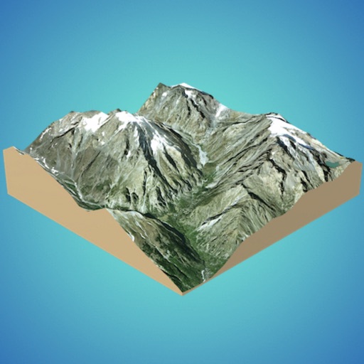
3D GIS Digital Elevation Model
Andres Narvaez
Generate 3D models from internet or cloud
Create 3D models from online sources like Bing Maps or local cloud points. Export data as CSV, TXT, STL, or OBJ. Modify models by cutting, scaling, and animating. Calculate surface areas and volumes in real-world units.

Peakery
Apperies LLC.
Track peaks, share hikes, and explore mountains
Track mountain hikes with in- GPS, recording vertical gain and current elevation. Browse, search, and filter 600,000 peaks across 50 map layers, including topo and satellite views. Save hikes, collect peaks, and share progress with others.


Geo Tracker: GPS Tracking
ObjectGraph LLC
Record route and keep photos.
The app records a user's route and associated photos. It tracks walks, hikes, runs, and rides, showing distance, time, pace, speed, and climb.

How we rank alternatives
Apps are ranked by functional similarity, category fit, rating confidence, and popularity.