The app generates flight plans in native FSX, FS2004, or X-Plane formats. Users create routes visually by tapping the map to add airports and waypoints, with options to remove waypoints before saving.
by Fermin Fernandez★ 3.52 ratingsNavigation$24.99Data updated 2026-09-30
Fly aircraft through terrain and surrounding areas in various weather conditions. Choose from small planes, military jets, and large airliners. Navigate day, dusk, night, and storm environments.
The app offers worldwide flight planning and in-flight navigation for iPad and iPhone. It provides flight plan creation, navigation data, and moving map features for various aircraft types.
Pilots can retrieve information by defining departure and destination airports. Apply filters to narrow results. View NOTAMs in text format or on an interactive map. Translate NOTAMs into multiple languages.
Manage operations by scanning passengers and luggage with X-Ray, checking visas, and inspecting aircraft in the hangar. Simulate flying planes, manage crew, and maintain facilities to ensure smooth operations.
Navigate waterways with detailed charts, build routes, and record tracks. View tides and currents. Set waypoints and track progress. Share maps and access free US charts for safe boating.
The app provides quick access to airline check-in websites and flight information. It offers check-in reminders, weather forecasts for destinations, and airport details.
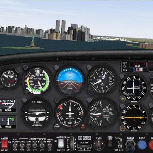
Practice IFR flight training with simulations of VOR, HSI, RMI, ADF, DME, and ILS navigation. Track instrument readings, adjust settings, and test navigation skills. Save progress and review performance metrics.
Plan and manage aircraft missions with DIY trip creation and editing. Add flight legs to build itineraries. Access shared trips for team collaboration. Coordinate complete missions with Universal Weather and Aviation's tools.
Track drone flights and share photos, videos, and data sessions with other pilots. Upload content to YouTube, Google Photos, or Twitter. Back up shared data automatically. Control Parrot drones via the .