The app generates flight plans in native FSX, FS2004, or X-Plane formats. Users create routes visually by tapping the map to add airports and waypoints, with options to remove waypoints before saving.
by Fermin Fernandez★ 3.52 ratingsNavigation$24.99Data updated 2026-09-30
Monitor boat performance with real-time sensor data from a wireless NMEA interface. View customizable displays on multiple iOS devices. Analyze race course conditions and track race progress.
The app displays real-time GPS position on marine charts derived from NOAA data. It includes features for waypoints, routes, and AIS overlay when connected to a compatible system.
The app provides flight tracking for John Glenn Columbus International Airport. It offers live arrival and departure boards, flight status, and tools to find alternate flights.
Fly a through city buildings and country rocks while passing through rings. Adjust flight direction with drag controls. Track progress as you through levels and increase speed.
Manage videos in a playlist. Import local videos or download from Dropbox. Upload to Dropbox or add to local playlist for continuous playback. Search videos. Share video links to social networks. View videos in Safari.
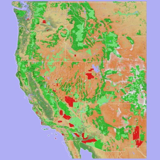
Navigate using a 3D topographic map of the USA and Hawaii. Access offline vector maps for navigation in vehicles or outdoors. Switch to online maps for global coverage with automatic caching. Explore locations with zoom and scroll features.
Create a realistic flight simulation cockpit with a Boeing-style Flight Management System, Primary Flight Display, and Navigation Display. Connect to flight simulators via local network. Configure displays for different simulators.