

Apps Like Skywatch View for iPhone and iPad
Monitor and control smart places easily.
The app integrates network cameras and environmental sensors with cloud recording and notification services. It allows monitoring and control of places from any location.
Skywatch View screenshots
Ranked alternatives
Showing 721–740 of 1,000 ranked alternatives.


Cruise Connect for Business
MODUS GROUP LLC
Track vehicles, manage fuel, reduce costs
Track vehicle locations and monitor fuel and maintenance costs in real-time. Receive alerts for vehicle health issues and schedule preventative maintenance. Provide drivers with actionable insights to improve efficiency and reduce downtime.
Particle Detector
KS Technologies
Scan for iBeacon and Eddystone beacons.
The app functions as a wireless Bluetooth Low Energy scanner for iPhones, iPods, and iPads. It discovers iBeacon and Eddystone beacons, displaying their identifiers, signal strength, and last discovery time.

A PhiGolf NAVI LITE
Phiplayworks
Golf GPS for Apple Watch
The app provides altitude difference information and supports left/right green systems. It covers over 60,000 courses worldwide and offers high-resolution maps.
Deed Calls - Area - Perimeter
Corvallis Microtechnology, Inc.
Convert property descriptions into maps.
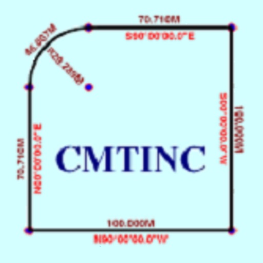
The app converts real property descriptions into boundary maps. Users enter angles and distances to draw property boundaries, displaying closure error, total area, and perimeter.


Appgate SDP Client
Appgate Cybersecurity, Inc
Securely access enterprise resources
Securely access enterprise and cloud resources with dynamic encryption. Set access rules based on device, location, and time. Manage session-specific security policies and control resource permissions per user.

GuardVue
Miller Group Incorporated
Monitor cameras in real time and review
Monitor real-time footage or review past recordings from cameras. Access cloud-stored videos with bank-grade encryption. Set up motion detection and alerts. View analytics and event logs. Manage multiple camera locations and storage settings.

MyGlasgow-Glasgow City Council
Glasgow City Council
Report Glasgow City Council issues easily.
The app allows users to report issues to Glasgow City Council, attaching photos, video, or other information and pinpointing the location via Google Maps. Submitted reports are routed to the council for processing and allocation to the relevant team.


Dashometer-Lite
Ian Ray
Track location, speed, and heading in real-time
Navigation displays real-time telemetry data including location, heading, altitude, speed, distance, and elapsed time. Users can customize display modes, units, and configurations by tapping or long-pressing values.


How we rank alternatives
Apps are ranked by functional similarity, category fit, rating confidence, and popularity.