Remotely view and control Raymarine e,c,ES, and Axiom MFDs via iPad. Access electronic charting, sonar, radar, and thermal night vision. Emulates MFD functions for remote operation. Requires MFD software v3.15 or later and WiFi-enabled displays.
by Raymarine UK Limited★ 3.37 ratingsNavigationFreeData updated 2026-09-08
Plan and navigate boating trips with real-time tracking and high-resolution digital charts covering the US, Europe, and other regions. View vector charts with tappable buoys and lights. Pan and zoom seamlessly across maps.
Create and manage markers with custom titles, descriptions, dates, colors, icons, and images. Move markers freely on the map. Organize them into folders. Search and browse markers via a text-searchable list.
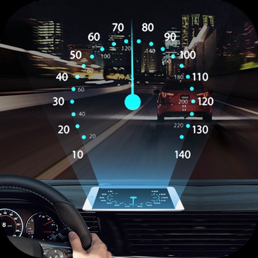
Projects speed, clock, weather temperature, cruise control, and now playing song information onto the windshield when iPhone is rotated and placed near the windshield. Displays data in landscape mode for easier visibility while driving.
Check bus arrival times for the next three buses. Receive arrival alerts via notifications even after closing the . Access bus info through an Apple Watch . View nearest saved buses in Today Widget from lock screen.
Navigation displays current, average, and maximum along with distance traveled. Supports mph and km/h. Shows location on a map and offers projection display mode. Requires location access for accurate tracking.
Manage and organize spatial geodata with maps stored in a catalog. Download and view maps in CMF2 format. Process and analyze geospatial data in the field without authorization or payments. Export ArcGIS maps to CMF2 using Builder.
The app displays map coordinates in multiple grid formats including British Grid, Irish Grid, MGRS, and UTM. It also shows Latitude & Longitude in decimal and sexagesimal notation for global use.
Access navigation data to plan routes and view traffic. to phone for calls and messages. Control music playback and manage playlists. Display essential driving information in a clear interface.
The app collects and understands field data through maps and reports. It displays real-time planter performance or yield maps during harvest, and allows for field scouting when not in the cab.
Navigation allows users to load custom charts in S-57, S-63, iENC, BSB, and KAP formats. It automatically downloads NOAA charts and raster maps. Users can create waypoints, routes, and tracks. Night color modes and anchor alarms are available.
KML/KMZ files to view on mobile devices. Add new locations by searching, entering addresses, or long-pressing on the map. Edit and save map data directly on the device. Share via email or cloud services.