Meteo
Stephan Hotto
Weather data for Europe analysis.
The app displays weather data from the German Weather Service for Europe. Hobby meteorologists can use this data to create their own weather forecasts.
Align satellite dish for proper signals.
The app helps users align their satellite dish by selecting dish location and satellite. It displays the dish's precise direction for optimal signal reception.
Showing 321–340 of 1,000 ranked alternatives.
Stephan Hotto
Weather data for Europe analysis.
The app displays weather data from the German Weather Service for Europe. Hobby meteorologists can use this data to create their own weather forecasts.


RoadTour LLC
Explore and navigate trails
Access detailed topographic and 15 GB of National Parks data. Navigate off-road trails, view elevation contours, and mark waypoints. Share and track progress with GPS. Sync with devices for real-time navigation.

Supermechanical LLC
Precise temperature readings and remote alerts.
The app provides precise temperature readings and remote alerts to iOS devices. Users can access temperature guides for various foods and save recipe graphs for consistent results.





Eutelsat SA
Find parameters and adjust antenna settings
Find parameters for fleet. Use augmented reality to set antenna location and adjust polarization angle. Display positions and tracking details.

Tigran Mkhitaryan
Areas and routes on the map
Distances, areas, and routes on maps using standard, satellite, terrain, and hybrid views. Calculate total area between points or along a route. Display coordinates in UTM and MGRS formats.




Imran Pinjara
Calculate head dimensions and radii
Calculate head dimensions including blank diameter, crown radius, knuckle radius, and height. Support flat , 10% torispherical ends, 2:1 ellipsoidal ends, hemispherical , and 2:1 ellipsoidal dish end templates. Perform layout marking calculations.


takeshi ogawa
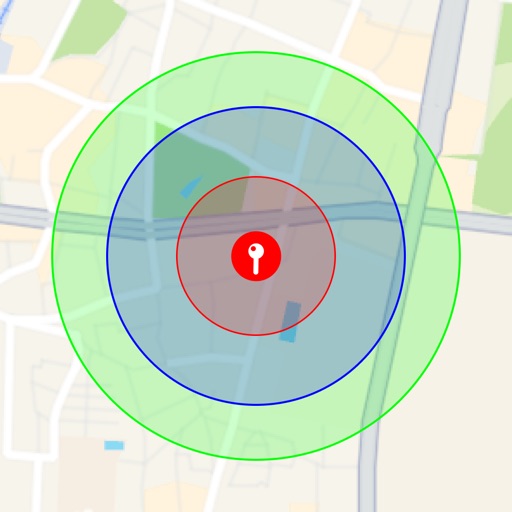
Visualize around map pins
Visualize around map pins to compare distances. Set up to three per pin. Search locations and check nearby points of interest. Switch between standard and satellite map views. Automatically save pins for future reference.
Apps are ranked by functional similarity, category fit, rating confidence, and popularity.