The app measures the direct distance and angle between any two points on a map. It can register a starting point and destination, and search for locations on the map.
by Looped Picture Company★ 0.00 ratingsNavigationFreeData updated 2026-09-28
Navigate using GPS to find sea routes and locations. View detailed maps and charts. Mark and save waypoints. Track speed and depth. Share coordinates with others. Sync with other devices for real-time updates.
Navigate Lake with detailed maps and points of interest. Find marinas, boat launches, restaurants, and other locations. Save favorites for quick access. Create custom places on the map. Share saved spots with friends.
The app provides audio sightseeing content, tourist information, and maps in English, German, and Hungarian. Users can explore points of interest with an offline map and receive automatic information as they approach locations.
The app measures risky driving behaviors including phone use, speed, cornering, and braking. It also assesses reaction time and decision-making after alcohol consumption to encourage better driving habits.
The app provides practice for tasks involving compass points and degrees. Users can customize exercises to match their understanding of compass correlations, with reference values shown in degrees or compass points.
Upload radar data to improve obstacle detection models. Detect stairs and provide safety alerts. Measure and announce distances within two meters. Recognize and warn about additional obstacle types.
The app allows users to book taxis in the Rochford and Southend areas. Users can add multiple pick-ups, book return trips, and track their taxi's status on a map with an estimated time of arrival.
The app provides subway maps and a route planner with travel time and distance. It calculates trip costs and finds nearby stations using augmented reality.
Map with detailed vector navigation. Zoom at any level. No internet required. Avoid roaming charges. Locate nearby points of interest. Save data usage. Sync with real-time updates from OpenStreetMap.
The app provides GPS-based navigation and sailing assistance. It displays heeling, racing rules, and navigation data, with integrated Google Maps and a trip recorder.
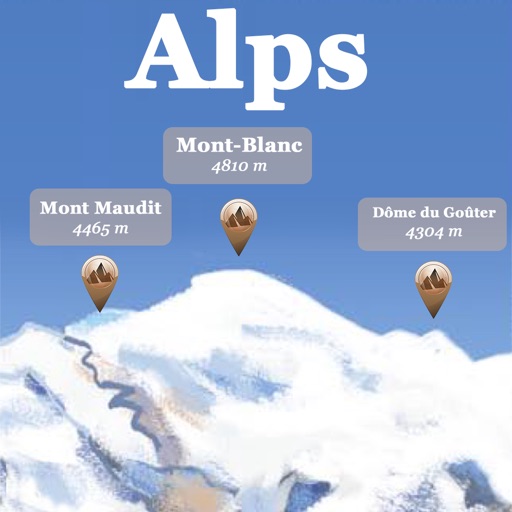
The app references over 20,000 peaks, passes, lakes, and shelters in the Alps. Users can find names, altitudes, and distances to summits and locate various points of interest on a 2D map.
The app provides a Thailand map with over 1,500,000 points of interest. It offers features for finding restaurants, attractions, and shopping locations, along with route calculation and location sharing.
Plan routes between highways, state, and provincial roads. Display directions with closed road alerts. View total distance and travel time. Access real-time traffic information. Receive road condition updates along the route.
View assets on a map using an access code. Track asset status changes and send messages between users. Update locations and receive notifications about asset movements.
The app allows users to search for places of interest using over 360 categories or by name. Users can create custom categories, bookmark locations, and find reviews from Google and Yelp.
The app provides audible and visual speed camera warnings. It uses directional information to reduce false alerts and displays cameras on a map or in a list.
Save and organize locations with titles, notes, photos, and voice memos. Create folders to group locations. Share across major map apps. Track and manage work sites, travel stops, or personal places. Set private access and view details.