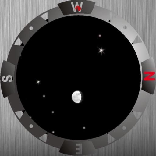
Plan photography sessions with a 27-day geomagnetic forecast. Align shoots with ideal moon phases and dark conditions. Track sightings and capture real-time updates. Share photos and receive feedback from other photographers.
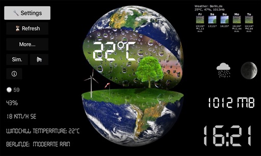
View real-time forecasts based on your location, up to 10 days ahead. Track temperature, precipitation, wind speed, and humidity. Customize the display to show preferred data. Receive alerts for severe conditions. Share current data with others.
Provides interactive maps with lakes, rivers, and zones. Users can track routes using offline GPS navigation. The includes tools for marking locations and planning trips.
View tide and current predictions based on official NOAA data. Search for stations by name or location. Save favorites for quick access. Explore interactive charts for detailed information. Set alerts for specific conditions.
View real-time data for airports including METAR, TAF, NOTAM, WINDS ALOFT, and forecasts. Access ICAO and IATA codes, coordinates, and sunrise/sunset times. Manage favorite airports, search by location or code, and display all airports on a map.