Apps Like CoDrivers - GPS Driving Assistant for iPhone and iPad
Alerts for road conditions and traffic.
The app provides real-time alerts for road hazards such as speed traps, bumps, and traffic jams. Users can explore nearby elements on a map and view their vehicle's speed.
by FIRST SHOT★ 1.01 ratingsNavigationFreeData updated 2026-09-28
Select and use maps from multiple vendors including OpenStreetMap, CityGuide, and national producers. Navigate offline with worldwide coverage. Access traffic info and regular updates. Set map preferences and manage subscriptions.
Monitor cameras and red light cameras with real-time alerts. Access a global database of over 100,000 cameras, including 8000+ in the USA. Navigate with turn-by-turn directions and traffic updates. Receive notifications for limits and locations.
Turn-by-turn navigation for Australia New Zealand.
The app offers turn-by-turn navigation for Australia and New Zealand with offline map data. It includes SpeedAlert for national speed limits, school zones, and time of day, along with CarPlay support and HERE live traffic.
Prepare for the with mock quizzes covering road signs and traffic violations. Take a final mock to assess knowledge of laws. Track progress through difficulty levels and review quiz results.
Study road signs, traffic laws, and safe driving guidelines. Take realistic multiple-choice quizzes based on official DMV questions. Track progress with score improvements and sessions.
Navigate using real-time traffic updates and turn-by-turn directions. Access points of interest and road closures. Earn extra income by advertising on your vehicle during specified times and routes.
Monitors facial and eye movements using the phone’s front camera. Detects prolonged eye closures indicative of drowsiness. Plays loud alerts to prompt attention and prevent accidents. Tracks conditions and provides real-time feedback.
The app displays real-time departures for Samara public transport, considering traffic conditions and schedules. It builds routes, calculates ride durations, and helps locate stops.
View and playback video footage from compatible dash cams. Download and share recordings directly. Enable smart parking mode to trigger alerts when motion or impact is detected. Manage settings and receive notifications through the .
The app displays a map of active emergency calls for fire, medical, and traffic incidents. It provides critical information from Orange County Emergency Managers, including weather, traffic, and evacuation alerts.
Track driving behavior to calculate insurance rates. Monitor speed, acceleration, and braking patterns. Update driving score manually. Sync data with insurance provider for rate adjustments. Set driving goals and view performance reports.
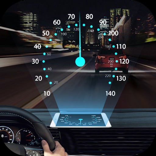
Projects speed, clock, weather temperature, cruise control, and now playing song information onto the windshield when iPhone is rotated and placed near the windshield. Displays data in landscape mode for easier visibility while driving.
Track real-time speed using GPS in km/h or mph. speed on a clear interface. Monitor distance traveled and trip duration. Set speed alerts and receive notifications. Sync data with other apps for detailed analysis.