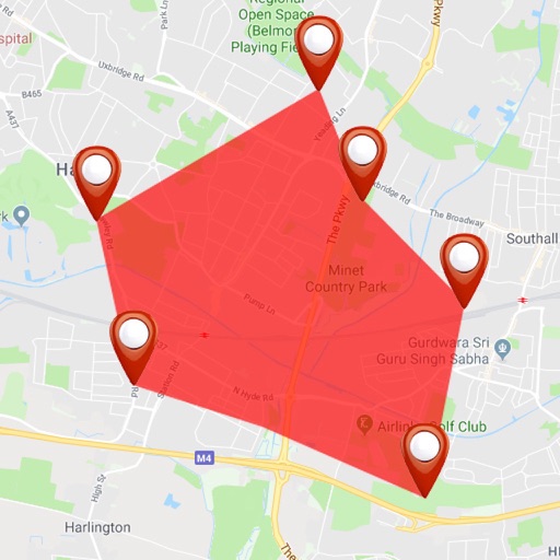
The app displays Coptic Orthodox churches and monasteries on a map. It provides real-time data, localized distance calculations, one-touch dialing, and a 360° view of destinations.
Calculate data using actual values from the Cessna 172P Pilot's Operating Handbook. Interpolate data for accurate flight planning. Support for Standard, Long Range, and Integral Fuel Tanks.
Calculate performance data using actual Cessna 172R POH values. Interpolate and display results in high-resolution graphics. Complete flight planning with instant updates. Track mass and balance calculations.
Calculate performance data for the Cessna 182S using values from the Pilot's Operating Handbook. Interpolate and display results in high-resolution graphics. Complete flight planning with instant updates and detailed performance calculations.
Record driving routes with GPS tracking of distance, speed, and elevation. Replay trips, organize them in a Garage, and generate shareable links for private or public access.
Record travel routes in real time with one tap. Save, retrace, and organize paths. Share journeys with others. View maps and track progress. Sync locations and revisit exact routes later.
Provides pilots with synthetic vision, TAWS, and VFR/IFR charts. It includes geo-referenced approach plates and ADS-B traffic monitoring. Users can transcribe and playback radio communications with speech recognition.
Navigate using vector maps with unlimited zoom. Plan and share routes. Import and view points of interest. Synchronize with a trip-planning site. Track location without cellular reception.
Create 3D maps using LiDAR scanning. Edit and customize maps with automated tools. Export maps in open file formats. Publish maps for navigation and wayfinding. Upload and share maps for use in various applications.