View and interact with saved maps and data offline. Add markers, customize layers, and share maps via email or social media. Navigate using map views and search for locations. Sync data with web tools.
by BATCHGEO LLC★ 3.5100 ratingsNavigationFreeData updated 2026-09-08
Navigate Lake with detailed maps and points of interest. Find marinas, boat launches, restaurants, and other locations. Save favorites for quick access. Create custom places on the map. Share saved spots with friends.
Find and mark locations on a map. Add unlimited locations to groups and share them with friends. View marked locations on a scanner interface. Navigate to saved places using the 's map features.
Navigate public transport with real-time route planning and station navigation. View detailed line maps and station indexes. Access offline data and GPS-based station location. Find transfer points and track transit options.
View and analyze ESRI geodatabase data on or offline. Edit features, perform red lining, and conduct field inspections. Collect data, manage outages, and query spatial information. Sync and share updates with GIS systems.
Explore detailed with zoom functionality. View country profiles and compare locations. Access about geography, culture, and history. Search for places and view satellite imagery. Save favorite locations and share with others.
Explore offline maps with zoom and regional details. View interactive points of interest including public transport, restaurants, and hospitals. Access daily itineraries and budget-friendly accommodation. Find shopping, nightlife, and local tips.
Display custom location data such as POI, parcels, and GIS layers on Bing Maps or OpenStreetMap. Upload and manage aerial imagery. Deploy to the cloud for scalable and secure data hosting.
Access detailed world maps and high-resolution regional maps of 165 countries. View administrative, topographic, and climate maps offline. Use without internet or ads. Navigate and zoom in for precise geographic information.
Navigate public transport with detailed and subway maps. Find routes offline without internet. Plan trips by viewing fastest paths and transfer points. Access a stations index for quick navigation.
Lets users measure distances and areas on maps. They can plot radius areas with specified centres and sizes. Share maps as images to show routes, areas, or radii. Adjust colors and export map views.
Navigate with pinpoint accurate maps and real-time positioning updates. Plan hunts using advanced tools. Track movement and stay connected with hunting companions. Share location and receive alerts for safety.
Navigate landmarks with interactive map markers and turn-by-turn directions. View historical background, photos, and location details. Sync with Google Maps for real-time navigation and attraction information.
Save locations by snapping photos of addresses or landmarks. Quickly access saved places for directions via car, public transit, or walking. Edit and organize saved locations with tags and notes. Share locations with others via links or social media.
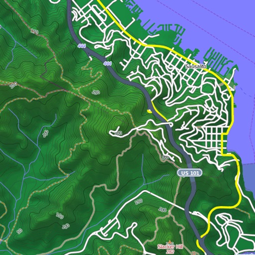
View and download detailed maps with topographical hillshading and contour lines. Store maps for offline use. Navigate using detailed terrain features. Find hiking trails, ski runs, and back streets.
Browse, search, and view details about UNESCO Sites. Access a full list of 1248 sites. Explore a map with site locations. Filter and sort sites by criteria. View images, descriptions, and historical context. Share site information across devices.
Navigate using real-time GPS and map data. Mark and save locations. Track movement and speed. Share coordinates with others. Use offline maps for areas with limited connectivity. Set waypoints and receive turn-by-turn directions.
"Access maps for global navigation. Zoom and explore detailed vector maps. Avoid roaming charges with local data usage. Find nearby points of interest and locations."
Land using GPS technology. Define boundaries on maps to calculate plot sizes. Calculate distances and areas for properties or regions. Save and share measurement data. Sync with mapping services for accurate results.
Explore cities with augmented reality navigation and interactive points of interest. View offline maps and metro routes. Find budget hotels and restaurants. Get daily itineraries and shopping guides.