The app allows users to overlay high-precision map data and access it without an internet connection. Users can view associated attributes and files by clicking on points and can register or edit data and photos on the iPad.
by at-creation Inc.★ 0.00 ratingsBusinessFreeData updated 2026-09-26
The app provides a route map with a station index and line overviews. It includes GPS support to find the closest station and high-resolution graphics for retina displays.
Record scouting observations and recommended actions with customizable forms. Enter data for multiple fields simultaneously. Copy and paste between forms. Edit historical entries. Email PDF reports. Function offline without internet.
The app allows Siebel CRM users to access critical CRM information on their iPhone or iPad, even without network coverage. It supports managing accounts, contacts, opportunities, and more, with data stored locally for quick access.
The app provides complete game schedules for professional football teams, visualized as maps on iPad or iPhone. Users can analyze and map road trips, home stands, and team travel, with venue locator and driving directions.
The app provides stock market data from DSC and GDSL. It allows users to track stocks, view market index changes, and see key events like top gainers and losers.
Save travel ideas from TikTok or Instagram directly to a map. Automatically extract location data and pin findings. Categorize locations like restaurants or attractions. Add details from the shared content.
The app provides an offline travel guide for Cannes and the Côte d’Azur. It features augmented reality, interactive maps, and daily itineraries to help users explore the region without an internet connection.
The app provides access to field documentation data, allowing users to check fertilization and plant protection tasks. Users can display crop type, variety, seeding and harvest dates, applied products, and NPK-Sum for all recorded crop years.
Manage sales and inventory without an internet connection. Track transactions, view reports, and update product details. Store data locally for fast access and privacy. Set up once for lifetime use with no subscriptions or hidden fees.
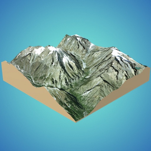
Create 3D models from online sources like Bing Maps or local cloud points. Export data as CSV, TXT, STL, or OBJ. Modify models by cutting, scaling, and animating. Calculate surface areas and volumes in real-world units.
Create and edit 2D and 3D geographic shapes for mapping. Draw sites, roads, and air routes with georeferencing. Visualize shapes on 2D and 3D global maps. Explore areas by car, plane, or foot. Share and export map data.
Check bus schedules and timetables for city. View next bus countdown and bookmark favorite routes and stops. Access full timetables offline without an internet connection.
Use GPS to locate yourself on any map. Take a photo of a map or paste one from the internet. Add markers by tapping and holding. View your real-time position on the map as you move.
Bike Tour provides offline route navigation and essential trip details. Users can access preloaded information about their cycling tour. The displays route guidance, points of interest, and logistical details.
Find nearby bus stops and Wi-Fi points on a map of Zaragoza. View locations of public services near your position. Navigate to these locations using built-in directions.
The app provides franchisees and partners with analytical data for their centers. Users can view deposits, revenue, student attendance, enrollment, timesheets, payroll, and projections.
The app lets users design double and triple glazed windows and doors. Users can overlay designs onto a picture of their home to see how products will look.