Learn fundamentals with interactive lessons on chartwork, safety, buoyage, light signals, shapes, sound signals, meteorology, GMDSS, and anchoring. Take quizzes to test knowledge and track progress.
by Nautica SIA★ 4.511 ratingsEducationFreeData updated 2026-09-08
The app provides a reference for maritime rules and signals, including steering, lights, sound signals, and distress signals. It also covers buoyage systems, flags, radio calls, and life-saving communications with learning cards for content review.
View real-time GPS location and track movement. Access marine charts, weather forecasts, and tide information. Plan routes with smart routing features. Set and monitor alerts. Share coordinates and waypoints.
Learn basics through structured lessons and interactive activities. Track progress with quizzes and exercises. Access detailed explanations of key concepts. Practice skills with hands-on simulations.
Search for points of interest using a 3000+ database filtered by distance. View results on an interactive map with detailed information. Access nautical charts, regulatory details, marina locations, and yacht services.
Provides GPS altitude and pressure altitude readings. Displays speed in kph, mph, and knots. Measures barometric pressure in multiple units. Tracks acceleration in G forces. Shows location, magnetic, and true heading.
Study Navigation with over 1,200 practice questions covering Inland and International waters. Topics include Steering & Sailing , Lights & Shapes, and Sound Signals. Each question has detailed explanations.
Navigate with real-time warnings and emergency SOS features. Access 35,000+ marinas and anchorages with detailed information. View 350,000 community photos and reviews. Book in 700+ marinas across Europe. Chat with users and marinas in-.
Track paddling sessions with detailed data including distance, speed, and calories burned. Log workouts and set goals. Share real-time location with loved ones. Receive safety alerts and connect with other paddlers.
Access real-time schedules and fares. View terminal cameras and vessel locations. Receive alerts for delays or changes. Check departure and arrival times. Navigate the Puget Sound with up-to-date information.
Allow users to explore locations without an internet connection. They include detailed global with millions of points of interest. Users can download for use and bookmark favorite locations. GPS tracking enables recording of travel routes.
Track routes and save photos or videos taken during trips. Share live with friends. View real-time bearing and distance to waypoints. Join regattas and see racecourses. Monitor progress and save media alongside data.
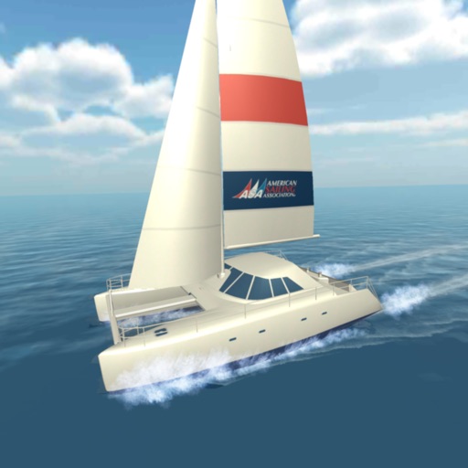
Learn about sailing features including exhilarating speeds, spacious decks, and stable rides. Explore maneuverability under power at low speeds. Understand how two engines and propellers enable 360-degree pivoting without steering.