Apps Like Ski run - ski/snowboard for iPhone and iPad
Track runs, view routes, and analyze speed
View runs and routes on a map with detailed altitude and speed data. Automatically record runs and lifts. Analyze routes using graphs and save activities to Apple Health. Earn trophies, save favorite locations, and export routes via email.
by Appmanschap B.V.★ 4.825 ratingsSports$1.99Data updated 2026-09-08
Navigate public transport with detailed and subway maps. Find routes offline without internet. Plan trips by viewing fastest paths and transfer points. Access station listings for quick navigation.
Track location in real-time with GPS. Record routes and share positions with others. Take photos and send messages during activities. View duration, distance, speed, and altitude data. Allow loved ones to monitor your location for safety.
Monitor location, heading, pressure, temperature, altitude, speed, distance, and elapsed time in real-time. Track trips, share routes, and receive comprehensive built-in instructions. Customize settings and view data on a large, easy-to-read display.
Track ski days and connect with friends on the slopes. View real-time lift and trail status including open trails, scheduled openings, and grooming updates. Access real-time weather data with temperature, wind speed, and snowfall information.
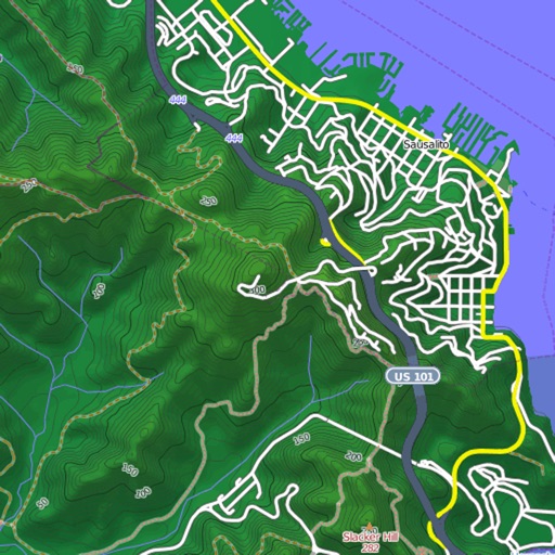
View and download detailed maps with topographical hillshading and contour lines. Store maps for offline use. Navigate using detailed terrain features. Find hiking trails, ski runs, and back streets.
View real-time run status and trail maps to locate yourself on the mountain. Share location with friends and track their positions. Record runs, log vertical feet and distance, and sync with Apple Health for workout data.
Travel "Find current location on skimap and map. Search hiking routes, mountain railways, and restaurants. Check lift availability, ticket prices, and thermal bath occupancy. View weather and event updates. Access dark mode and ticket shop features."
Access HD for USA, Canada, UK/Ireland, Germany, Netherlands, and European rivers. View NOAA vector , freshwater maps, and USACE inland river maps with bathymetry. Create or import GPX/KML routes. Use voice prompts for navigation.
Record hikes with geotagged photos and track performance metrics like distance, speed, calories burned, and effort. Navigate with an altimeter, route alerts, and automatic points of interest with vocal descriptions.
Track runs with real-time GPS data. Receive personalized audio motivation from an AI . Set and monitor goals. Sync with fitness apps for progress tracking. Adjust pace and distance settings. View detailed route maps and performance analytics.
View topographic, satellite, and road . Download official IGN for offline use. Find and follow hiking and biking routes across Europe. Record, save, and share routes online. Set waypoints and track progress. Navigate without cellular signal.
Create and navigate custom routes with multi-stop routing. Manage waypoints and record tracks from rides. Save and review recorded routes for future reference.
The app provides video lessons, audio coaching, and guided runs to improve running technique. It includes a metronome and workout log for tracking distance, pace, and caloric burn.