The app configures Levil devices and displays AHRS data. It shows graphical and numerical data from Levil AHRS devices, excluding iPad/iPhone internal gyros or GPS data.
by Levil Technology★ 3.03 ratingsNavigationFreeData updated 2026-09-24
Track departures and arrivals with real-time updates. View delays, cancellations, and gate information. Find terminal details and receive notifications for schedule changes. Check airport maps and locate security checkpoints. Share with contacts.
Monitor real-time telemetry data from TQi radio systems. Control Stability Management and GPS Speed Module. Record and share driving data via Facebook and Twitter. Sync with iPhone, iPod Touch, and iPad for screen support.
Track flights with real-time aircraft positioning on an interactive map. View details including airline, number, times, altitude, speed, and heading. Access AI-generated aircraft visuals for realistic representation.
Control the PHANTOM 2 drone via mobile device. Adjust camera settings, manage flight paths, and monitor battery life. View real-time video feed and trigger automated shots. Access flight data and system diagnostics.
Track flights with real-time data on an interactive map. Manage trips and receive alerts for status changes, gate updates, and schedule changes. View detailed flight information and share trip details with others.
Track vehicle locations using GPS. View past location history on maps. Search by vehicle make, model, stock number, or VIN. Save individual vehicle details for easy access.
Plan and manage flights with auto-routing and real-time data. Sync flight details between devices. View weather, airspace, and airport information. Log flight details and track progress. Share flight plans with others.
Determine UTM references, hemisphere, and WGS84 coordinates. Display device accuracy readings. Share location via Twitter. Includes USA UTM zone guide.
Build and customize rockets with six different missile types. Improve aircraft performance through seven upgrade parameters. rockets to achieve maximum height. Track progress and refine strategies for each flight.
Explore by rotating, tilting, and zooming a 3D globe. Select locations to view topographical data and gravity maps. Pinpoint key features like volcanoes, craters, and spacecraft landing sites.
Track flight altitude, speed, and heading in real time. Monitor waypoint progress and adjust flight path remotely. Control simulated flights via plugin integration. View navigation data wirelessly from a mobile device.
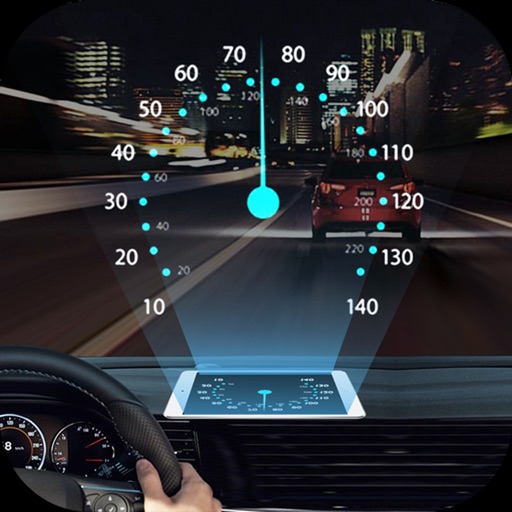
Projects speed, clock, weather temperature, cruise control, and now playing song information onto the windshield when iPhone is rotated and placed near the windshield. Displays data in landscape mode for easier visibility while driving.
The app duplicates a boat's display screen in real-time on a mobile device, offering control of charts, sonar, radar, and entertainment systems. It allows wireless backup and restoration of waypoints, routes, and settings.
The app displays GPS receiver information, including satellite status, current location, and battery level. It allows users to manage route recording and download stored routes from the receiver.