Set location-based to notify when approaching specific places. Track real-time location and receive notifications when leaving or arriving at predefined locations. Share your location with trusted contacts and receive updates on their status.
Capture GPS coordinates with a simple interface. Add descriptive notes to each location. Export data in multiple formats. Sync with Geographic Information Systems for mapping and analysis.
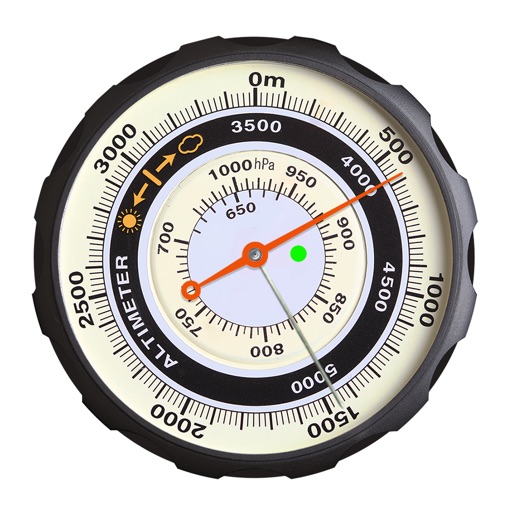
Displays altitude using a digital readout and an analog gauge. Tracks maximum height reached during use. Shows altitude accuracy and sensor quality. Utilizes GPS and barometric sensor for precise measurements.
Measure direction and elevation with a digital compass and inclinometer. Access real-time GPS and map data. Navigate using location-based routes. Share coordinates and track movement history.
Monitor vehicle locations in real-time using GPS . View maps with detailed routes and historical data. Generate reports on vehicle movement and fuel usage. Receive alerts for unauthorized movement or tampering.
Track daily movements and create personalized heatmaps of routines. Log location data in the background. Visualize time spent at different locations. Set reminders for regular activities. Export data for analysis.
Manage family communication and safety with real-time location tracking and direct messaging. Activate or deactivate features based on age. Share updates and receive alerts for child's location and activity.
Get accurate GPS and latitude longitude instantly. Display in multiple formats including DMS, UTM, and MGRS. Convert between coordinate systems. Share precise location data directly.
Check real-time MTA train arrival for any station. View countdowns for upcoming trains. Receive notifications when trains arrive. Switch between different lines and stations.
Explore historical sites at the battlefield using GPS navigation. Tap virtual signs to access detailed information about specific locations. Learn about the timeline from Day One to Pickett's Charge. View maps and historical context for each site.
Displays real-time location on a road network with milepoint and route ID updates every second. Shows offline maps using locally stored base maps. Accesses road data without requiring internet connectivity after initial download.
Participants share GPS coordinates with others in Mass events. Users send messages via built-in chat. Track group movement and communicate in real time.
View subway maps in Traditional Chinese, Simplified Chinese, and English. Plan routes with one-click transfer options. Check station details and first/last train times. Browse lines for quick itinerary planning.