

Apps Like MapOut for iPhone and iPad
Draw routes and view elevation profiles
Navigation provides offline global maps for iPhone and iPad. Users can draw routes, view elevation profiles, and access detailed terrain maps without internet. Hikers and cyclists benefit from specialized route networks and clear map details.
MapOut screenshots
Ranked alternatives
Showing 201–220 of 1,000 ranked alternatives.

Houston Transit Metro
Bhanu Munjal
Find stops, save favorites, track vehicles, search
Find nearby stops with one click. Favorite stops for access across devices. Get real-time updates on vehicle schedules and positions. Search by stop name, number, or route. Maps are resizable for better control.

Marine Navigation-USA Lake Map
Bist LLC
Navigate with voice prompts and route manager
Access vector charts, freshwater maps, and USACE river maps. Create or import routes using GPX/KML. Receive voice prompts for navigation. View tide and current predictions. Rotate charts with text remaining upright.


Georgia Pocket Maps
Alex Gugel
Download and guides for parks
Plan trips to parks with downloadable , guides, and park brochures. Access 50+ parks, 80+ , 130+ campgrounds, 400+ trails, and 63,000+ points of interest. Download newspapers and park information for offline use in areas without Wi-Fi.


Mapster
Syzygy Research & Technology Ltd.
View maps, download trails, store routes
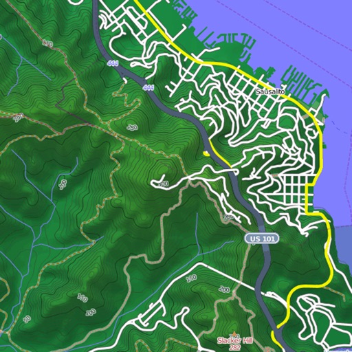
View and download detailed maps with topographical hillshading and contour lines. Store maps for offline use. Navigate using detailed terrain features. Find hiking trails, ski runs, and back streets.

Muvy
Frank-Peter Poschmann
Record and share outdoor activity tracks
Record outdoor activities like hikes, runs, or bike rides. Save and share tracks in GPX format. Compare recorded routes with planned tracks. Store tracks with custom data structures. Import GPX files for planned tours.


LinkedMap
Bingxin Li
Plan multiple routes with pin drops.
The app supports multiple pin drops with annotations for planning routes. Users can select different routes and view specified routes on the map.


CycleMaps
motocode ltd
Plan routes worldwide, ride anywhere.
The app plans routes using multiple data sources, prioritizing cycle paths and quiet streets worldwide. It provides turn-by-turn instructions, elevation profiles, and offline maps for navigation on iPhone and Apple Watch.

Payload
ALEXANDER C WEINER
Plan routes and track your ride
Plan cycling routes by drawing on an interactive map and using automatic bike-friendly routing for road, gravel, and mountain biking. Add waypoints and points of interest. Export routes to GPX for your bike computer.

Ski Haute-Gaspésie
Avalanche Quebec
Navigate mountains and track your route
Provide detailed trail information including route names, difficulty levels, and elevation gains. Display precise topographic maps with avalanche terrain exposure ratings. Navigate through Chic-Chocs and areas.


How we rank alternatives
Apps are ranked by functional similarity, category fit, rating confidence, and popularity.